Weekend 1 of the 2024 winter Walk Around Philadelphia
The first weekend of the 2024 winter Walk Around Philadelphia took us from 61st & Baltimore Ave around the whole southern end of the city all the way to Penn’s Landing…
It was a wild and beautiful adventure, as it always is.
DAY ONE:
Baltimore Ave towards the airport
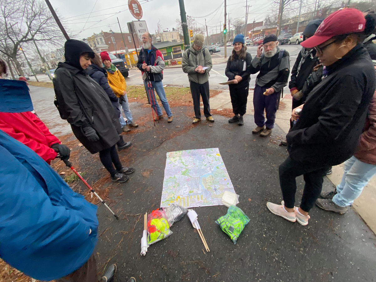
Gathering at 61st & Baltimore Ave, we started with an orientation to the map and our intentions for the day…
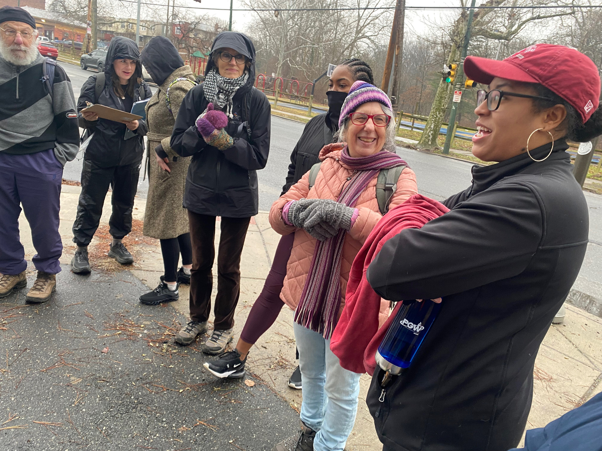
… taking time to introduce ourselves to each other…
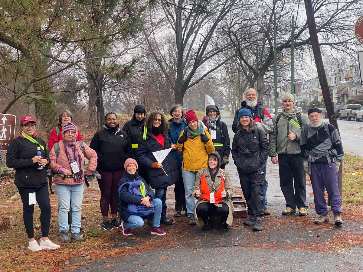
… and posing for a quick start point group snapshot…
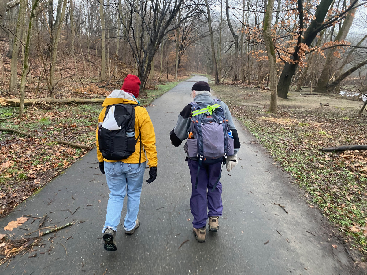
… before setting off along the trail in Cobbs Creek Park, following the creek downstream.
This was my 13th time setting out to explore the city’s entire perimeter, but only my third heading counter-clockwise…
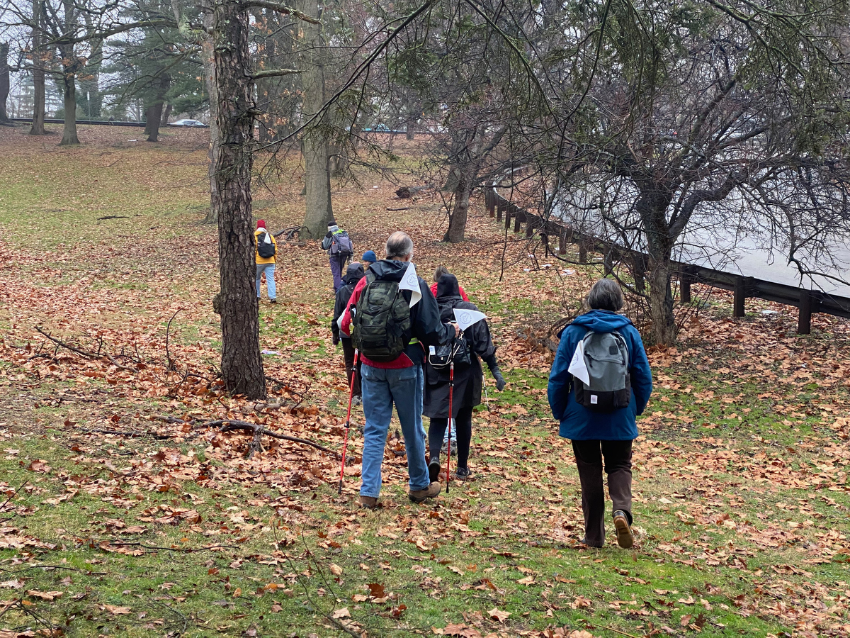
… and before I knew it, we were already walking somewhere that I’d never been before, as the group made a different choice than in the past in order to avoid a road crossing at Whitby Ave that’s not too pedestrian friendly.
(Important note: Walk Around Philadelphia is more of a practice than a path, and each group co-creates their own wayfinding experience in relationship with the city’s border. That’s part of the magic, and it always keeps it interesting…)
Along the way we encountered some of the great new trail wayfinding installations created by the Clean Air Council in partnership with community groups…
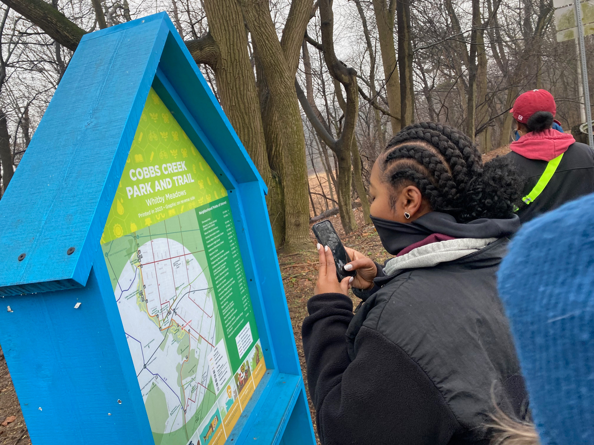
I love how installations like this can help invite passers-by into an exploration of the landscape around them and lead to a richer experience of the environment.
That’s why I’m working on a series of Walk Around Philadelphia wayfinding installations myself … by the end of this weekend’s walks we would encounter the first of them on Penn’s Landing!
But we had a long way to go before then…
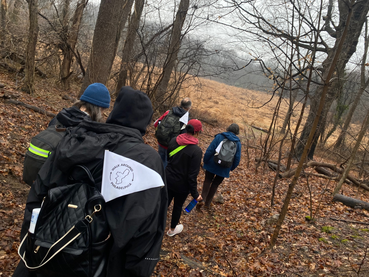
… the group opted to hug closer to the border, veering away from the paved path in favor of a dirt trail down towards this gorgeous meadow that’s labeled as “Fairy Door” on google maps…
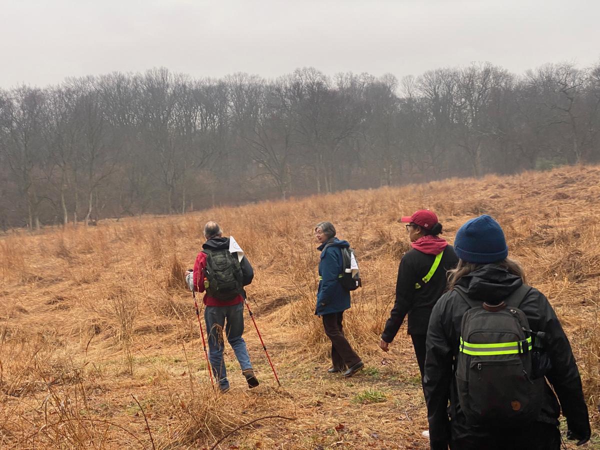
… and I was reminded by Marian that this meadow apparently used to be a set of outdoor public basketball courts!
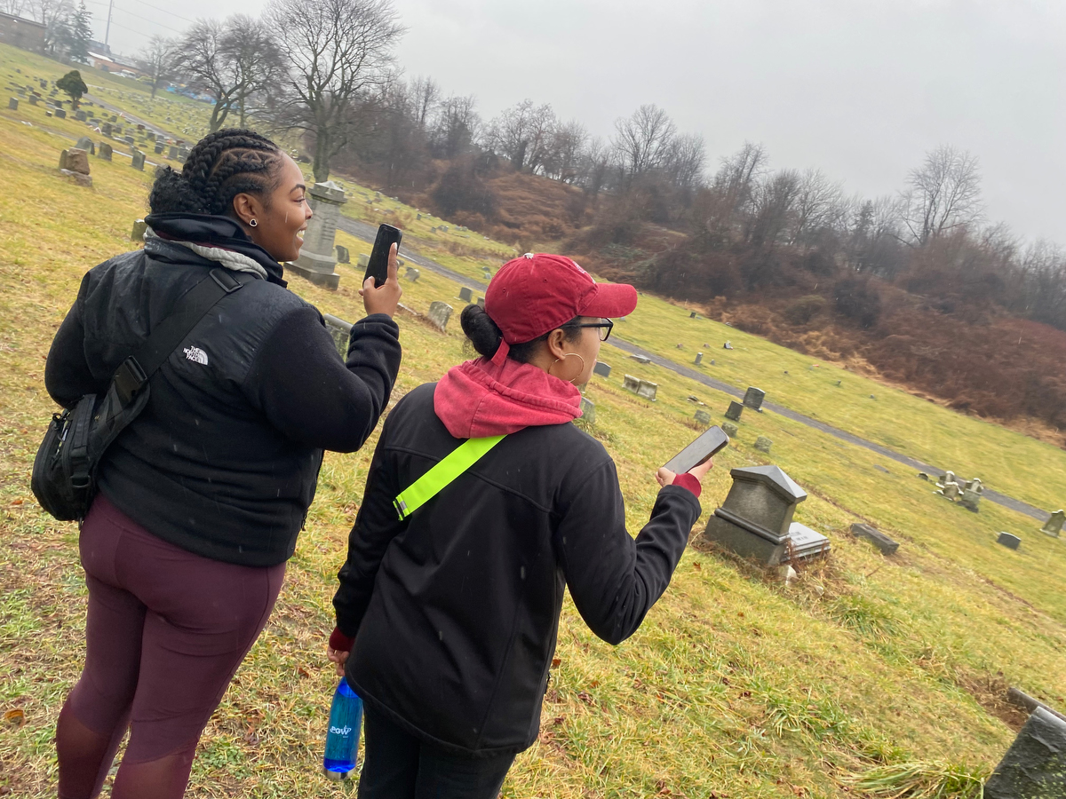
From there we made out way into the Philly side of Mount Moriah Cemetery – this vast and wild cemetery, part of which was abandoned for years, is often a highlight of this segment.
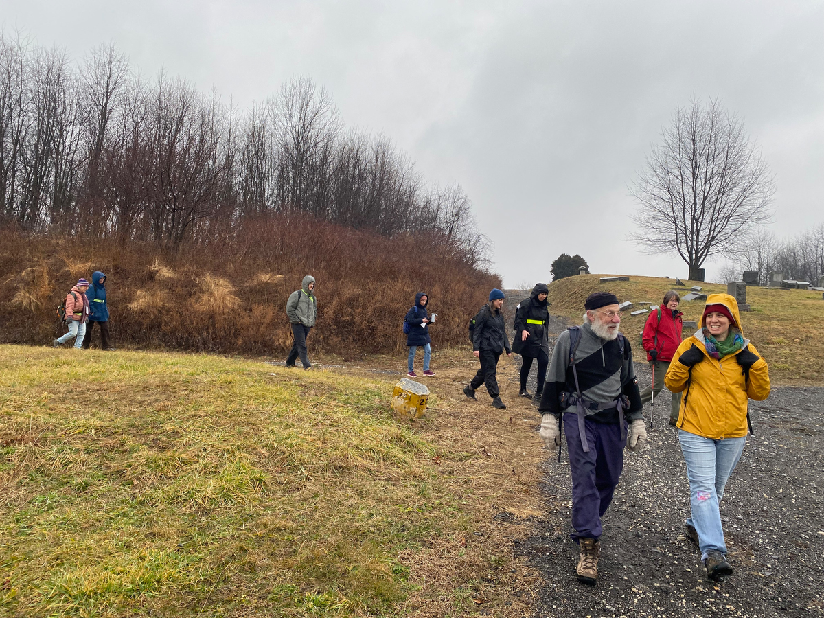
As we make our way through and out of the cemetery…
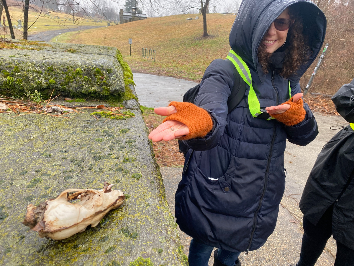
… we find a skull waiting for us by the exit!
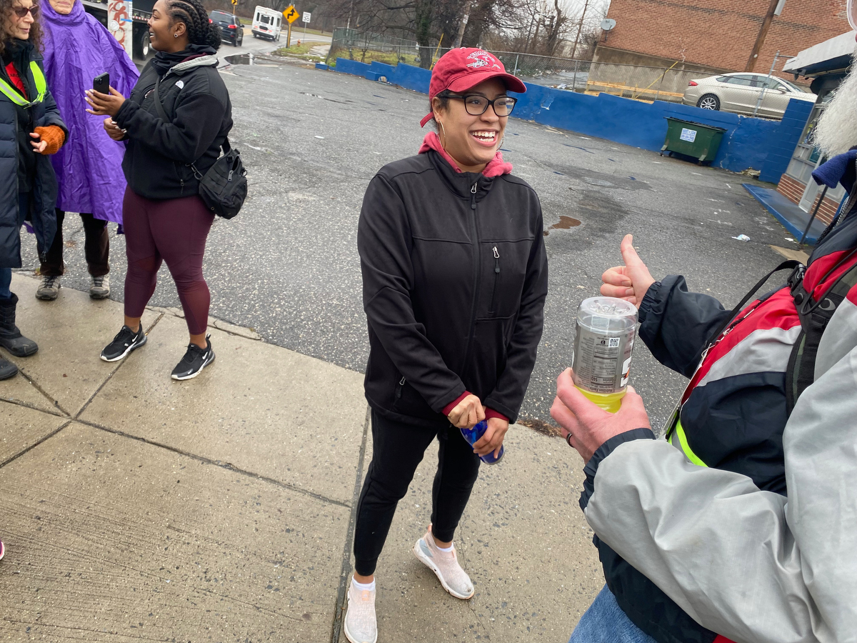
As we pause for a bathroom break, it’s time for Morgan & Brandy to leave us – Morgan had found out about the walk rather last minute and wasn’t able to get out of a meeting – it was great having them with us for the start of the day!
(While I definitely recommend setting aside a full day to participate in Walk Around Philadelphia if you’re able, you can always walk a partial segment and peel off whenever your schedule or body require it!)
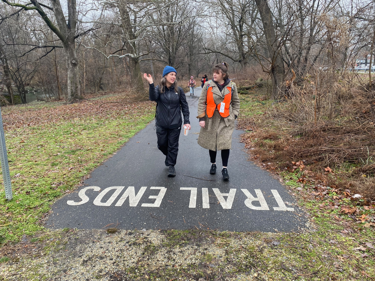
At Woodland Ave, the trail ends… but our walk doesn’t!
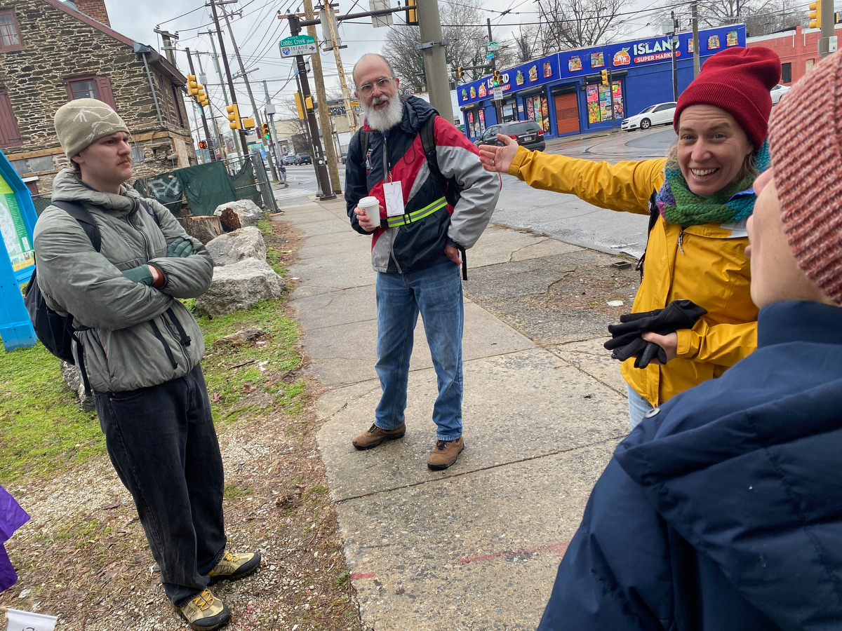
Here we found ourselves by the historic Blue Bell Inn (built in 1766) where this past summer a runaway SEPTA trolley crashed into the structure.
Thankfully no one was physically hurt, but the building had a live-in artist caretaker for whom this was their home & studio, and I can imagine that this was devastating for them.
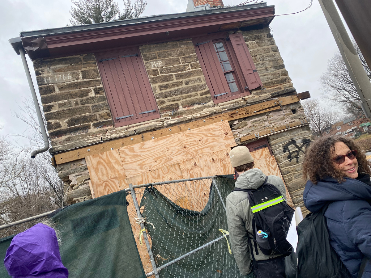
As some of us stopped to take in the damage…
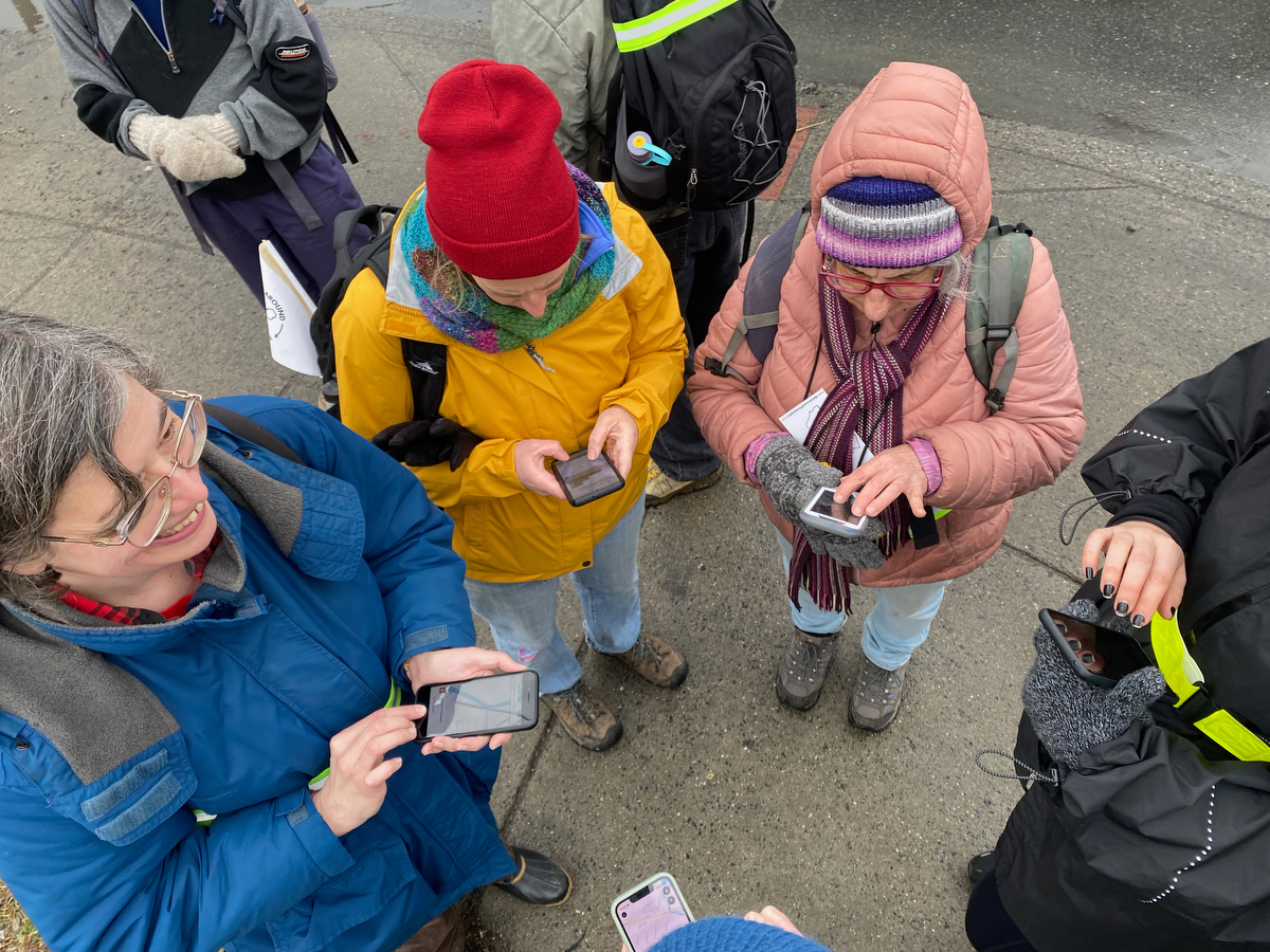
… others circled up to look at the map and figure out which way to approach the next segment of the border.
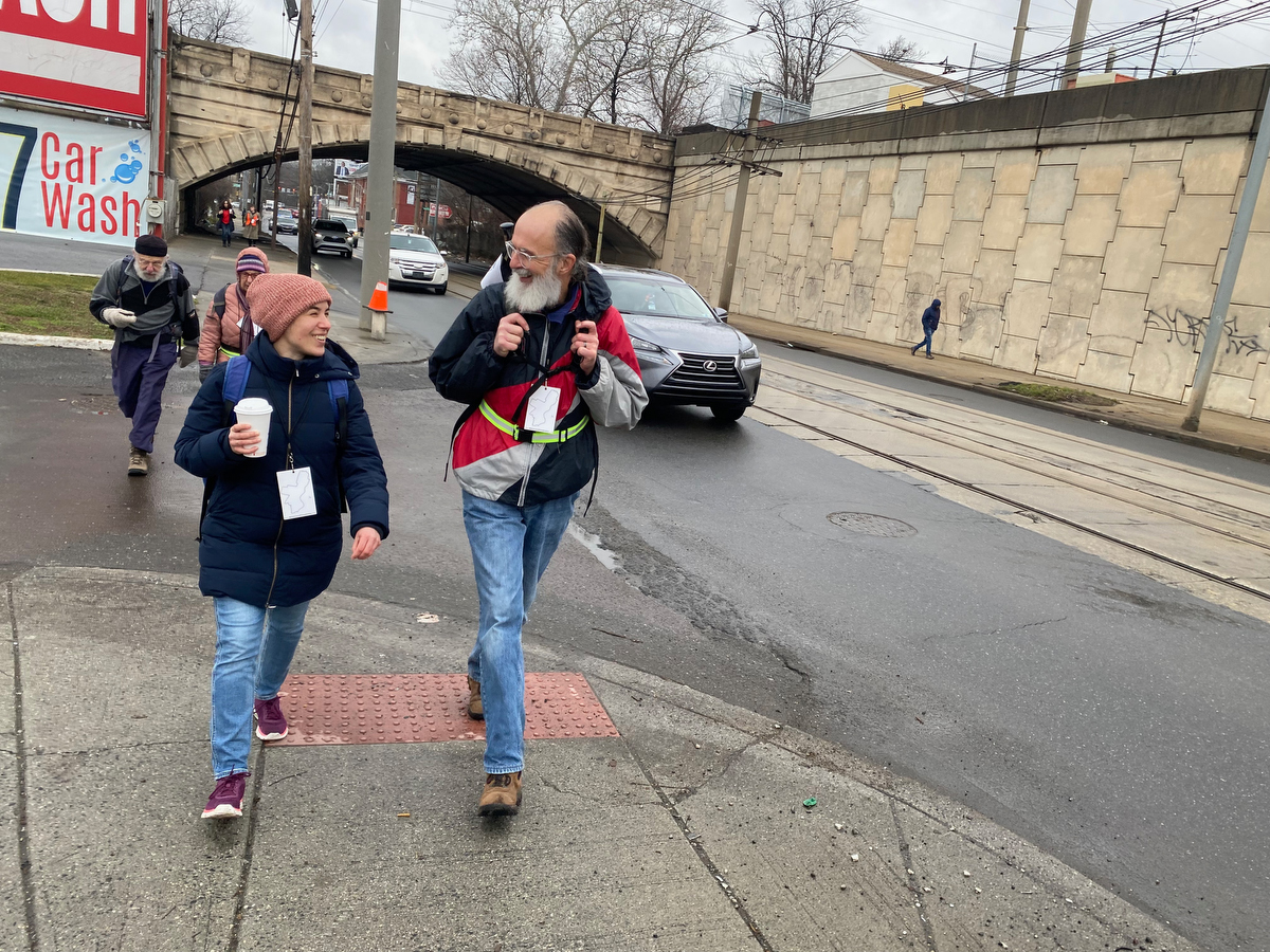
Opting to follow Island Avenue for a bit…
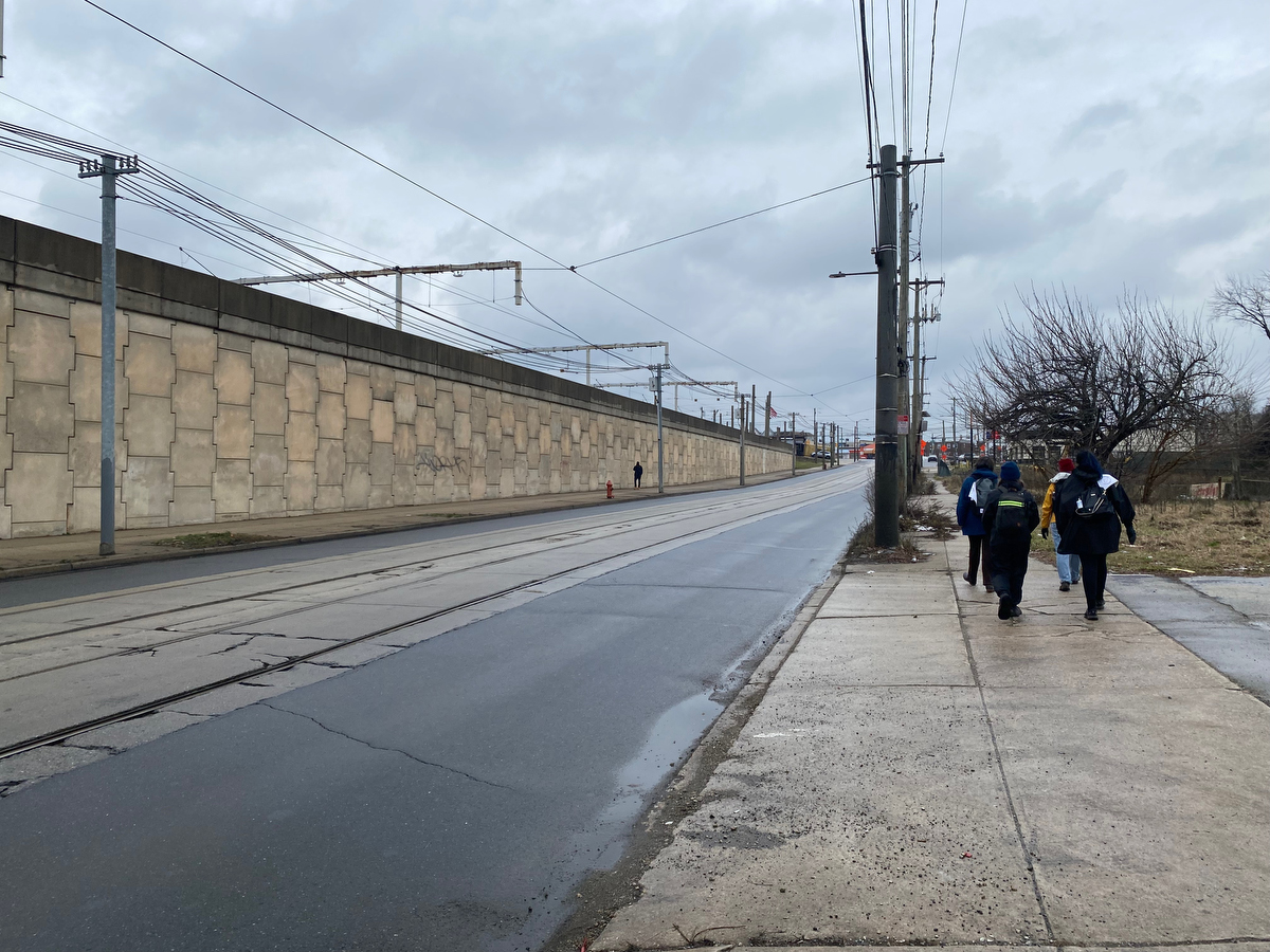
… I took a closer look at this long vast wall of the SEPTA trolley depot and made a note to suggest it to Jane Golden at Mural Arts as a potential site for a public art installation.
(This is a pretty huge wall and would be very cool to do something on, although my How Philly Moves mural at PHL International Airport still wins the prize for largest public art installation in the city!)
Speaking of public art, we also ran into a tag by local artist Irregular (Sean Hassett, as profiled in the Inquirer) … and as Rebecca stopped to document his work…
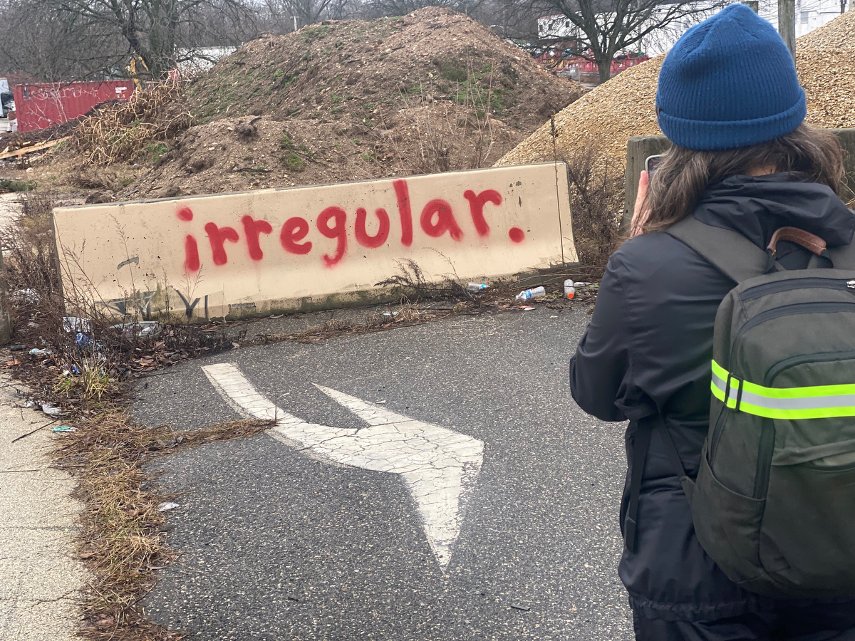
… I could help but laugh at this alignment of words and arrows to make it a lil visual statement about her & our walkers.
Yes, this thing of setting out to explore the city’s edge on foot is highly irregular!
(and amazing. every. single. time.)
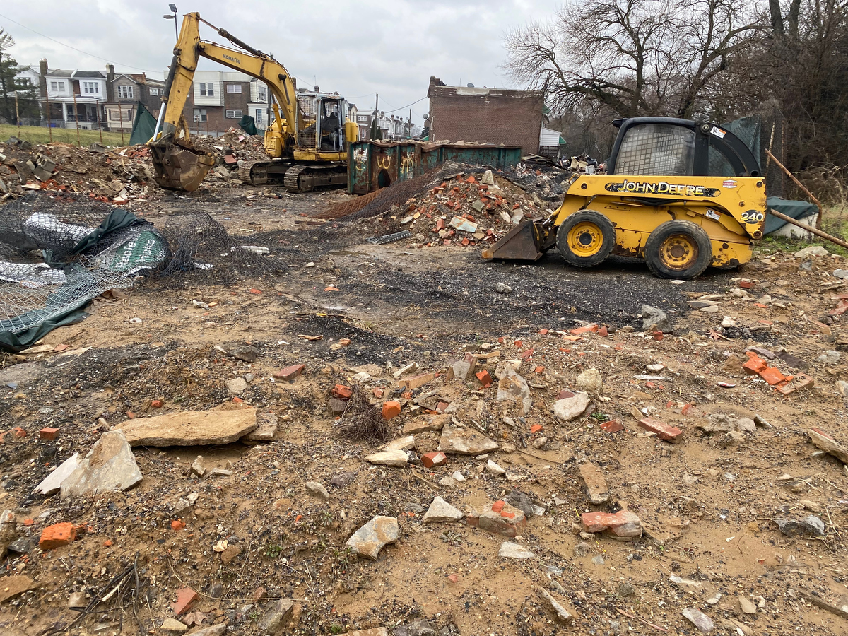
As we pass signs of change and development…
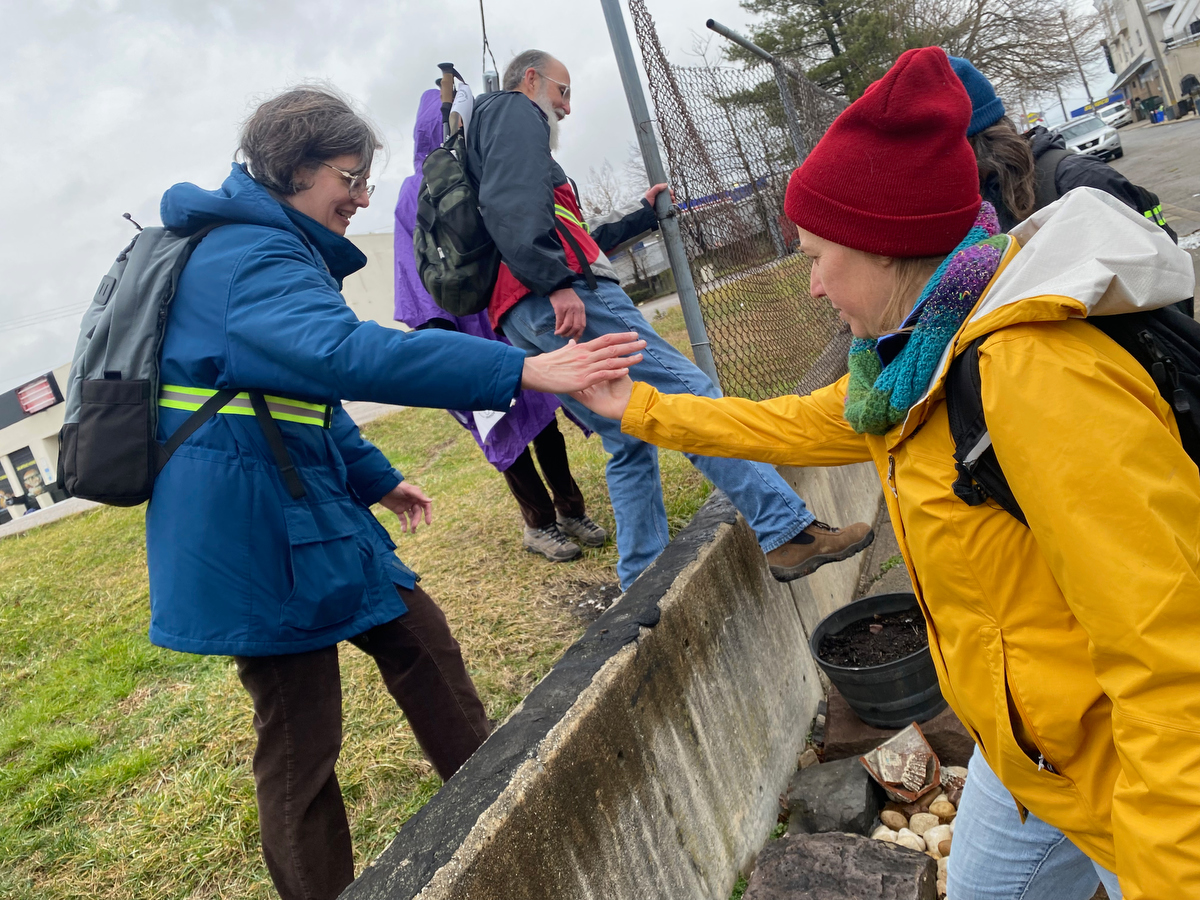
… and help each other navigate manageable little obstacles…
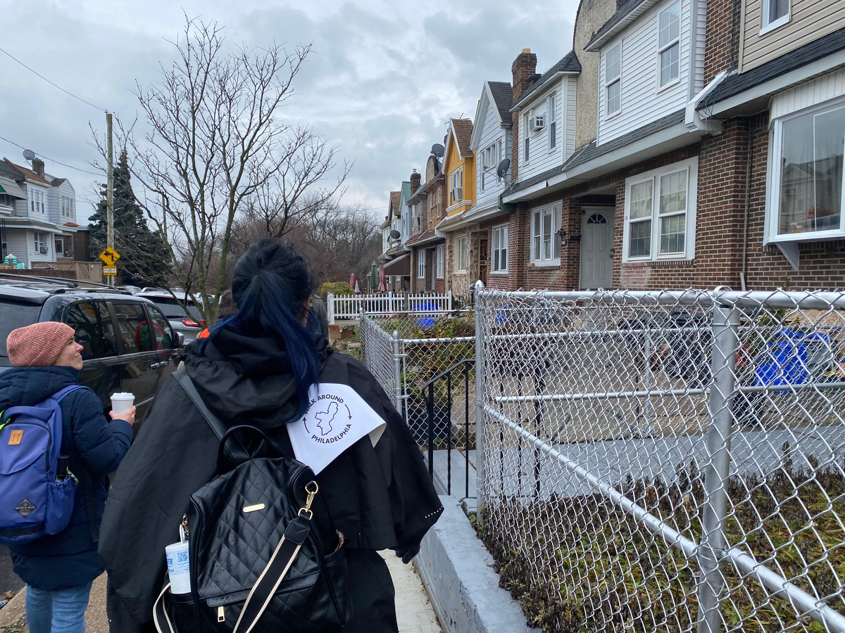
… we find our way through some sweet neighborhoods…
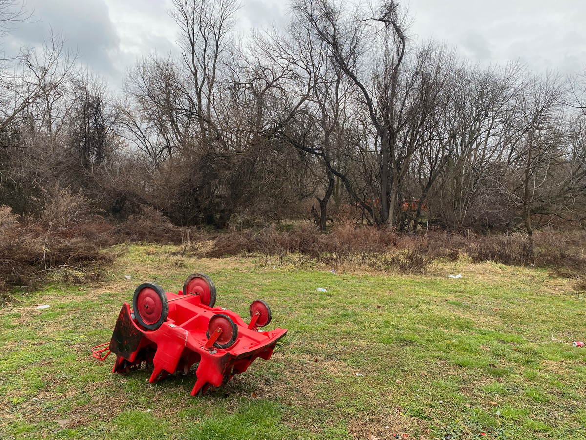
… and strange sights at the city’s edge.
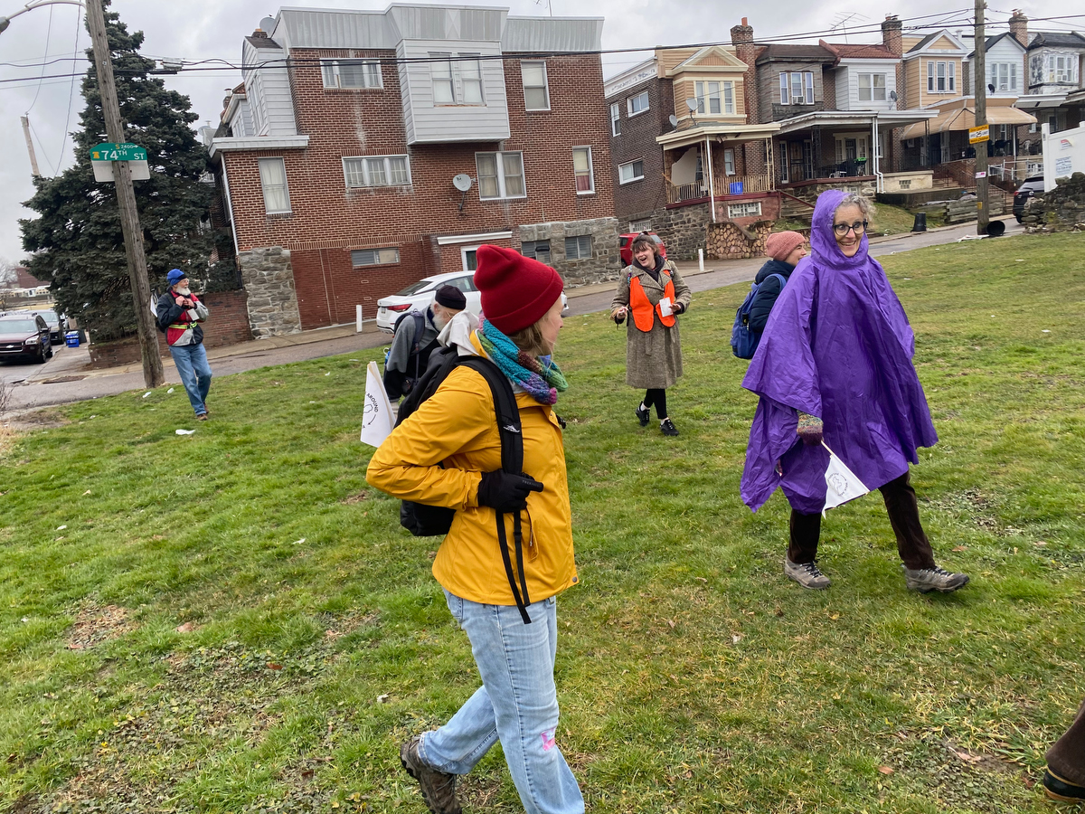
Here there are a few strange open plots of land owned by the Philadelphia Redevelopment Authority… and beyond them a few small quiet residential
Not pictured, but feels important:
As we approached Wheeler Street, we had a challenging encounter with a neighbor who was not thrilled that we were walking through her neighborhood. In fact, she was downright angry with us and screamed at us as she was loading into her car.
This was hard energy to be on the receiving end of, but understandable:
Here comes a group of mostly fairly privileged white folk tromping through a mostly working class Black neighborhood… and the whole of Walk Around Philadelphia can be perceived of as a colonialist act rather than the act of love for the city that I hope it to be.
This was a reminder that while Walk Around Philadelphia has made so much progress in sharing the invitation to explore the city’s edge and make this unique experience of the city more accessible since that first artist residency in 2016, there’s still a long way to go and a lot of work to do in order to truly bring this vision of what the walk could be to life.
There are definitely going to be more walkers heading towards this secluded little edge neighborhood, not just because of my perimeter walk project, but also because of the planned Circuit Trails connection between the Cobbs Creek and the Heinz Wildlife Refuge that will turn the route that we’ve been following into a more official trail.
As far as I’m concerned, Walk Around Philadelphia won’t be truly successful until:
- The participant pooler the walk is representative of the city’s demographics
- All those who live or work on the city’s edge know that they are invited to participate in the walk & its related events
- All those who want to undertake the walk are able to, regardless of means
- Neighbors & business owners at the city’s edge are aware of the walk in advance rather than surprised by it
- The walk feels like a blessing and celebration to all those who live & work on the city’s edge rather than an intrusion
With every iteration of the walk, we make a bit more progress towards those goals:
The participant pool has grown more inclusive every time, we’ve had more walkers receiving free & stipend supported registrations, and we’re building up personal contacts around the city’s edge.
In fact, just one block down from this neighbor who was angry with us is the home of one of my community advisory board members who’s been supporting & helping shape this project. (Thanks Flo!)
The next steps of developing this project thoughtfully will be resource intensive in terms of time, admin & outreach & stipend support.
This is where I’m reaching the real limits of what I can do and fund on my own and am looking to connect with philanthropists, partners organizations and the like to help build the walk into a thing that can truly serve the whole city.
If you have access to funding resources and would like to help out, please get in touch, or become a backer to support my work, or make a contribution to support Walk Around Philadelphia directly via our fiscal sponsor Fractured Atlas.
Ok back to the walk:
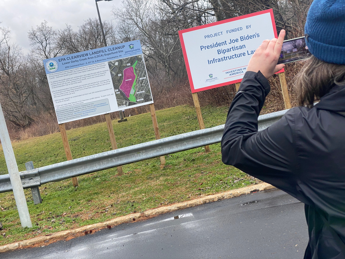
Beyond those couple residential blocks in Eastwick is the site of the Clearview Superfund Site, a former industrial zone that is being remediated by the Environmental Protection Agency.
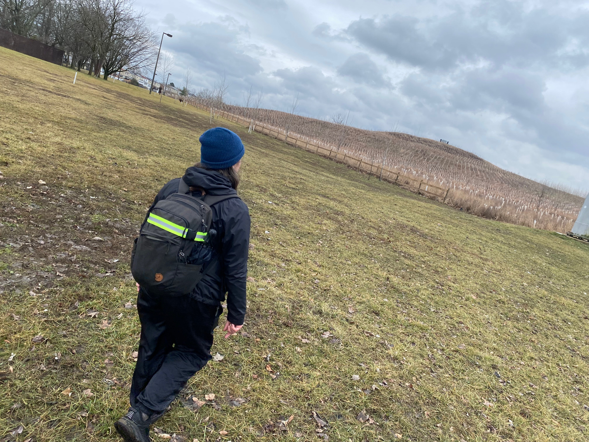
Last time we were here, we had the good fortune to run into Josh, the EPA project manager for the site, who gave us an impromptu mini guest lecture about the site and remediation process… it was fascinating!
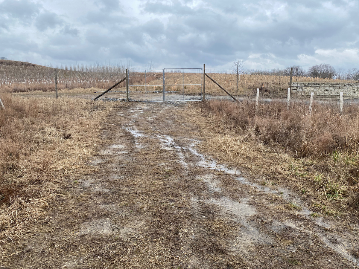
Another opportunity for learning about the Clearview site & community work that has gone into its remediation was when I walked here with the climate march organized by EQAT to urge investment giant Vanguard to divest from investments that wreck our environment.
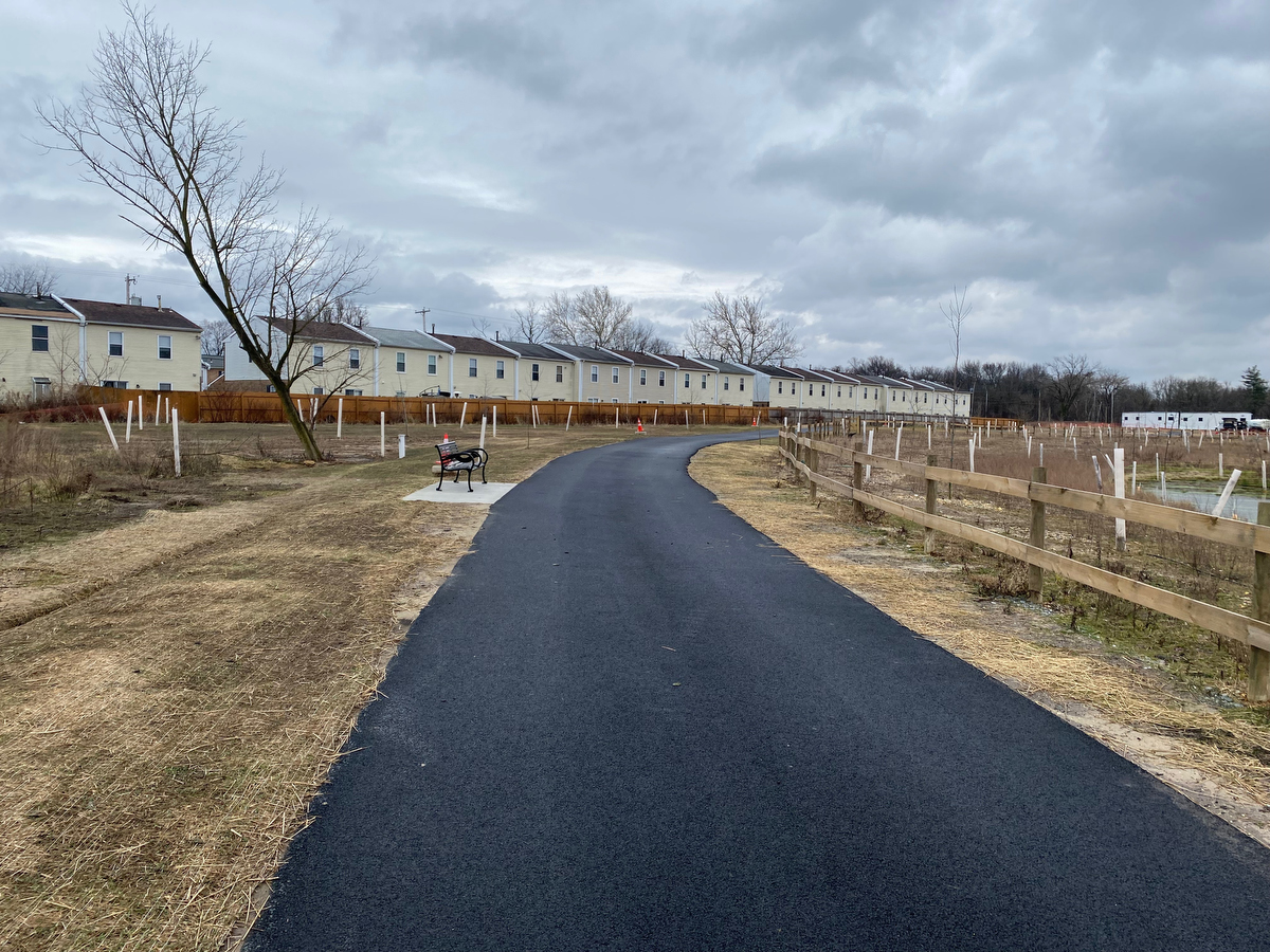
Its wonderful to see the remediated site and new trails…
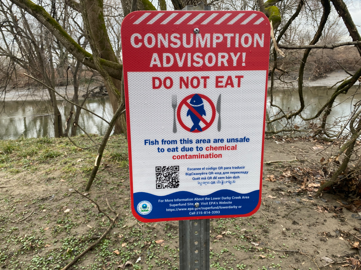
… but signs of the industrial site’s impacts remain.
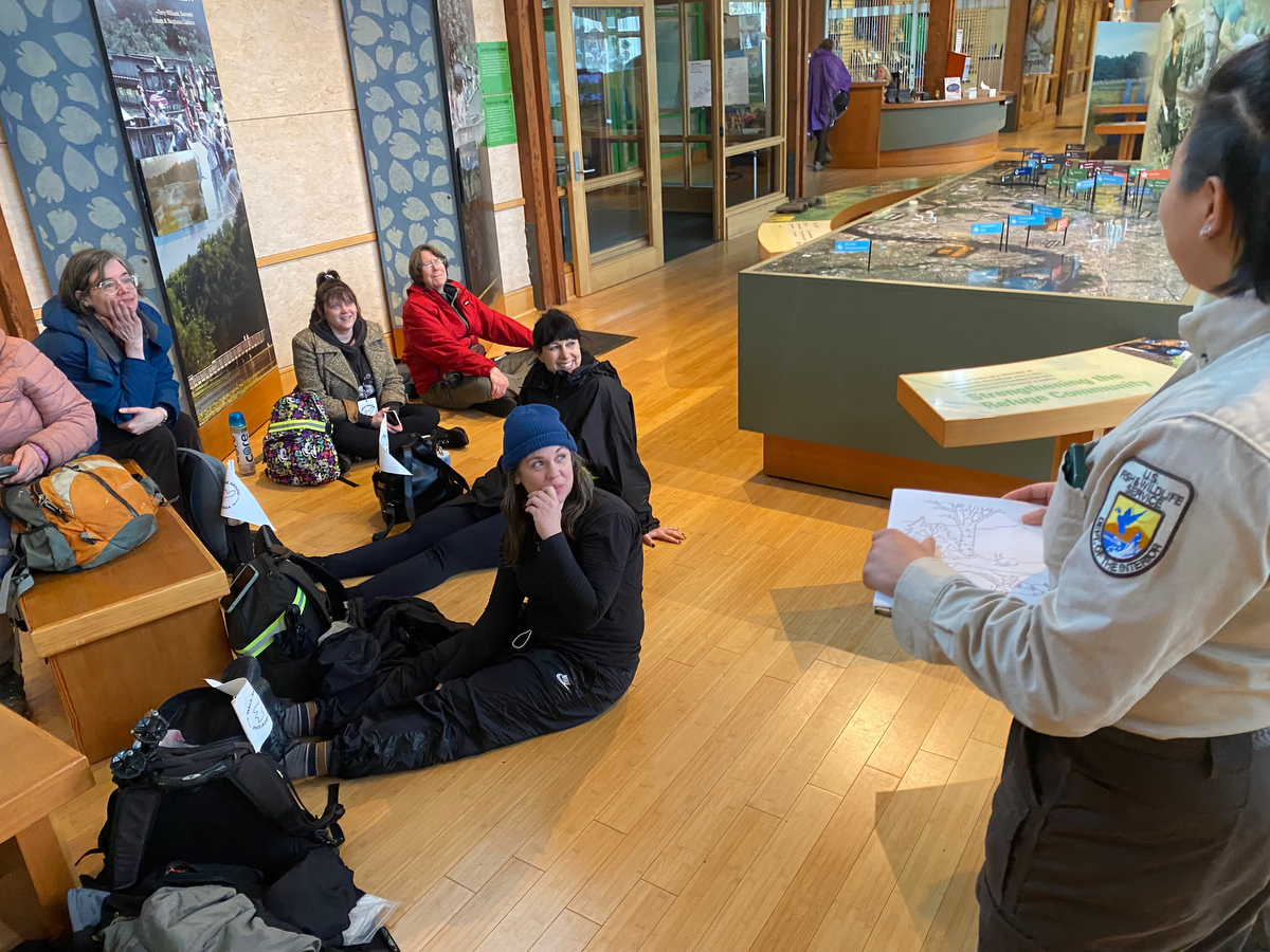
Having reached the John Heinz Wildlife Refuge, we paused in their lovely visitor center for a snack & bathroom break, and impromptu update from ranger Wingyi….
(thanks Wingyi!)
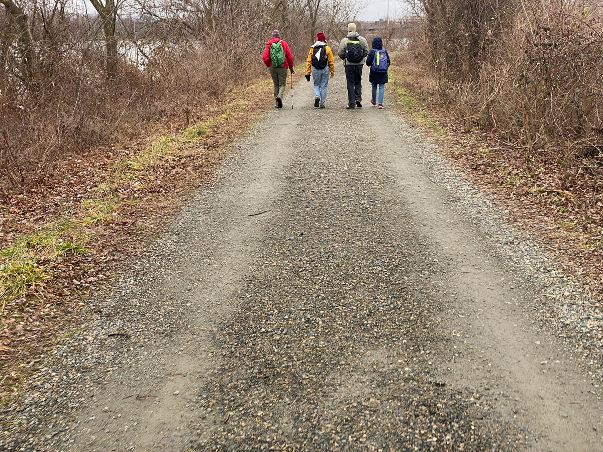
… before continuing on the wetland trail that follows the border as it traces through the middle of the refuge…
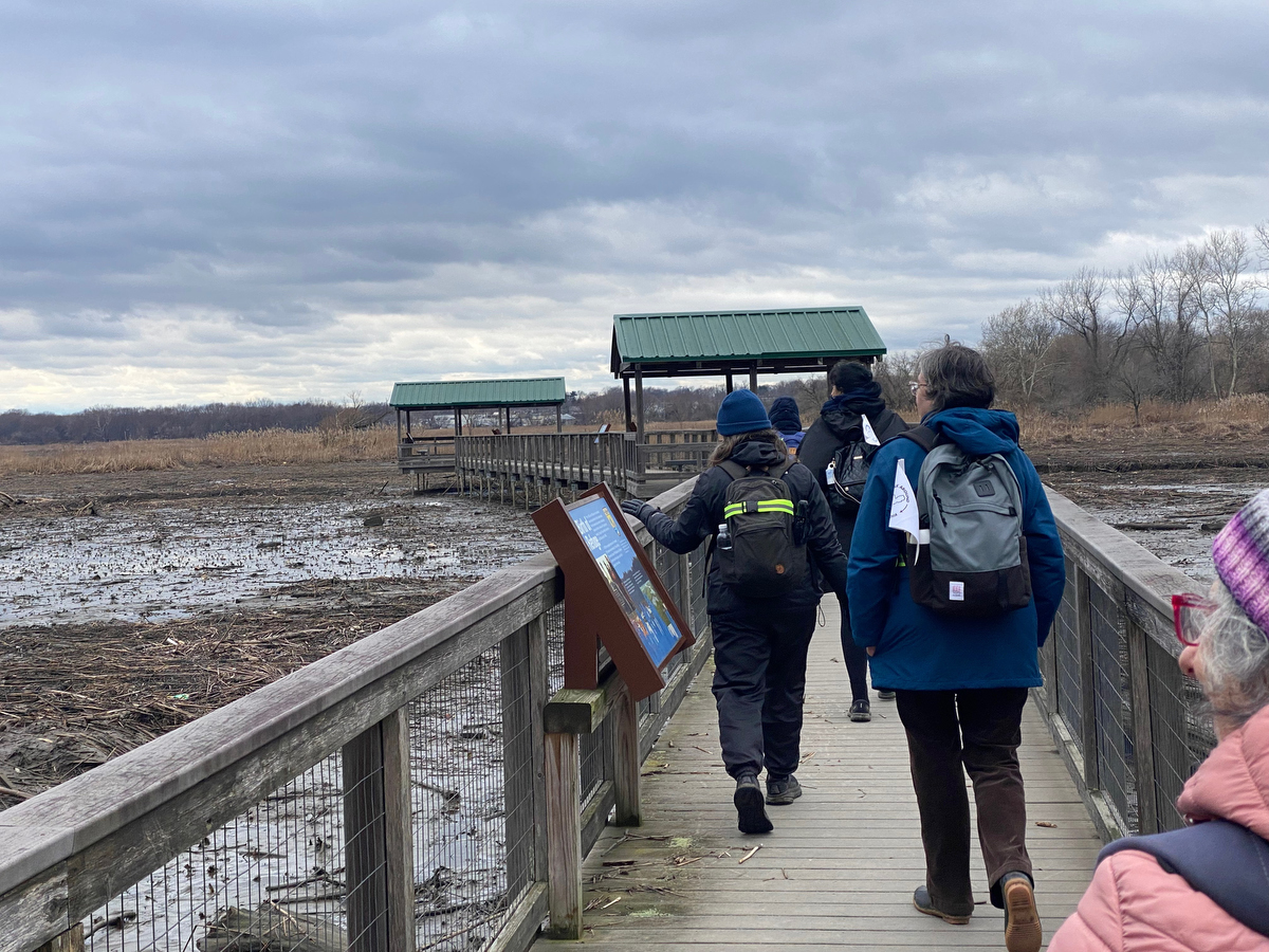
… and while the big boardwalk is a detour from the border itself, it was a fun excursion to add on.
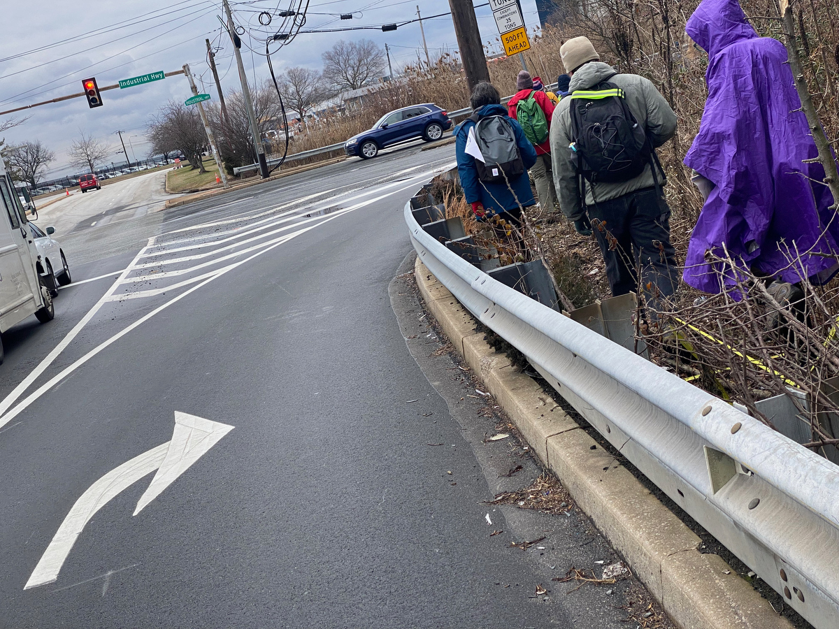
Beyond the refuge, there are a few not-so-pedestrian-friendly intersections to navigate…
(but the Circuit Trails folks are again working on building our trail for us and soliciting input on ways to build a more accessible connection from the refuge to the other East Coast Greenway trails. Four out of the five options that they are considering are perimeter-adjacent!)
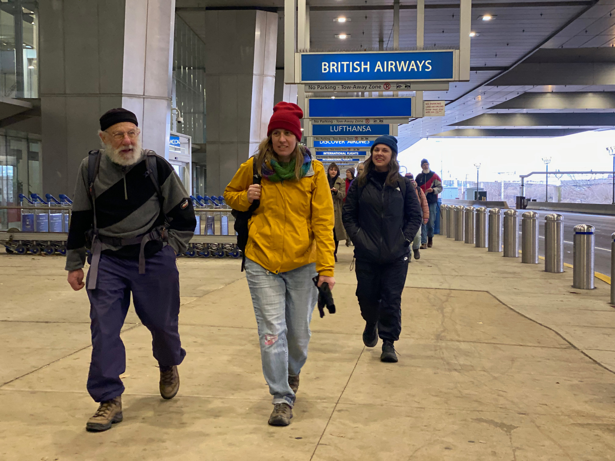
… and then all of a sudden we’re at the Airport!
It’s a wild thing to have arrived there on foot, having trekked ~10 miles around the city’s edge to get there.
DAY TWO:
Around the airport
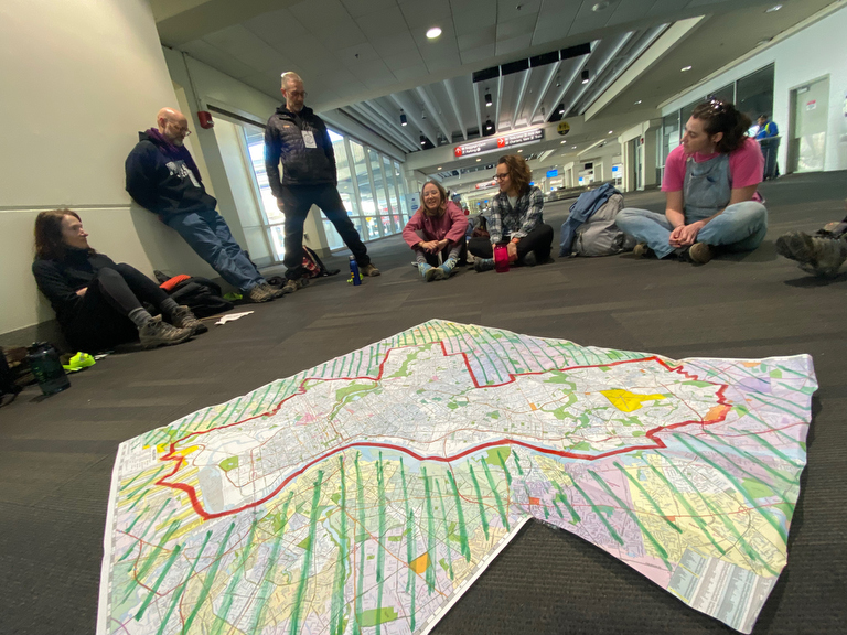
As we gather in the baggage claim terminal to resume our walk ’round the city’s edge, we take note of one interesting feature of the border:
The city limits cut right across the middle of the airport runways!
(The older main terminal buildings are in Philly. The new A-West International terminal is in Tinicum Township.)
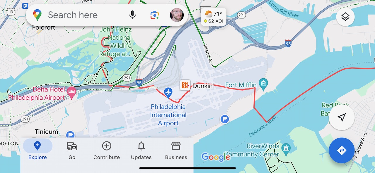
While this line now seems nonsensical, it makes a little bit more sense when you look at the map of Philadelphia county at the time that the Act of Consolidation of 1854 was signed – it notes a creek / back-channel waterway here, long before the wetlands were filled in and airport runways expanded to accommodate large modern aircraft.
And since the airport security folks wouldn’t want us tromping across the runways, walkers undertaking to circumnavigate the city’s perimeter are faced with a choice:
Skip the airport altogether or go the long way around it.
12 times out of 13, I’ve opted to go the long way around.
It adds ~10 miles to the adventure, and while it takes us somewhat further from the actual city border, it provides for some unique perspectives on both the airport and the edgy terrain around it.
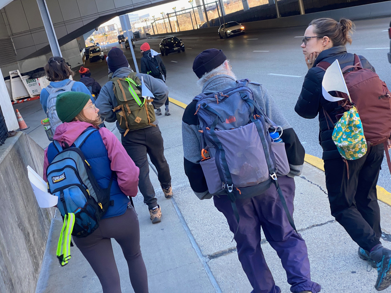
Since we’re going counter-clockwise this time, head west, from the terminal towards the border itself, which we’ll only touch directly for two brief moments on today’s walk.
The path quickly takes us from terminals and loading zones that might be familiar to passengers…
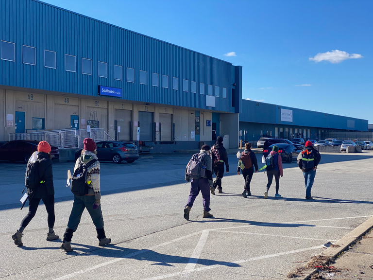
… to less familiar loading zones that are generally only visited by the folks who work there…
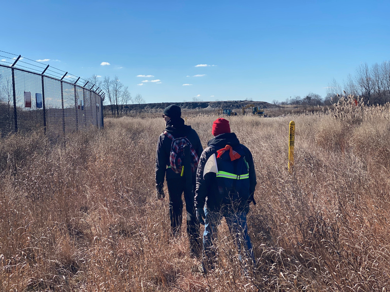
… and quickly to the end of the fence lands where folks rarely ever set foot.
Overhead are planes, of course…
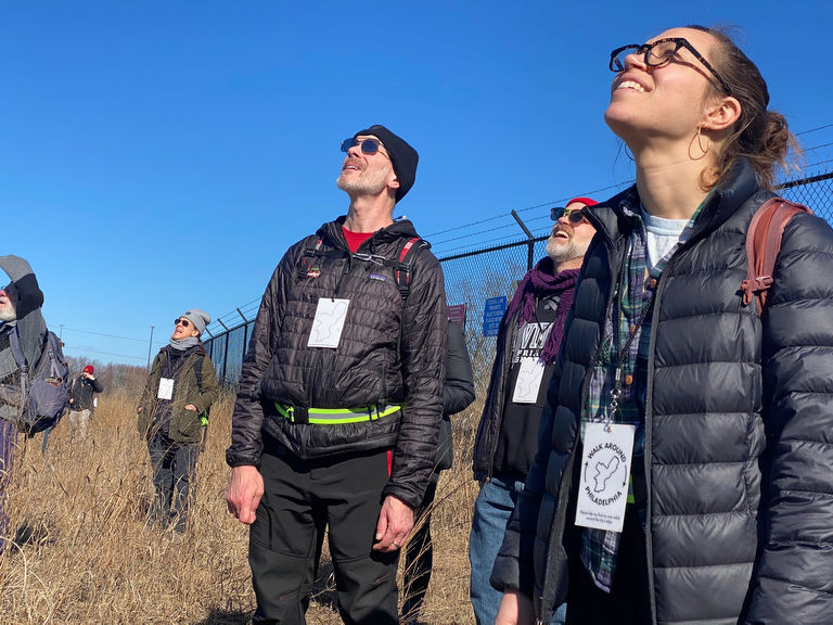
… but what first catches our eye is a pair of hawks circling in the sky!
(While circumnavigating an urban environment, WalK Around Philadelphia often leads us into industrial areas & wild natural ones… )
Amidst this sparsely trafficked meadowland, we find signs of human activity…
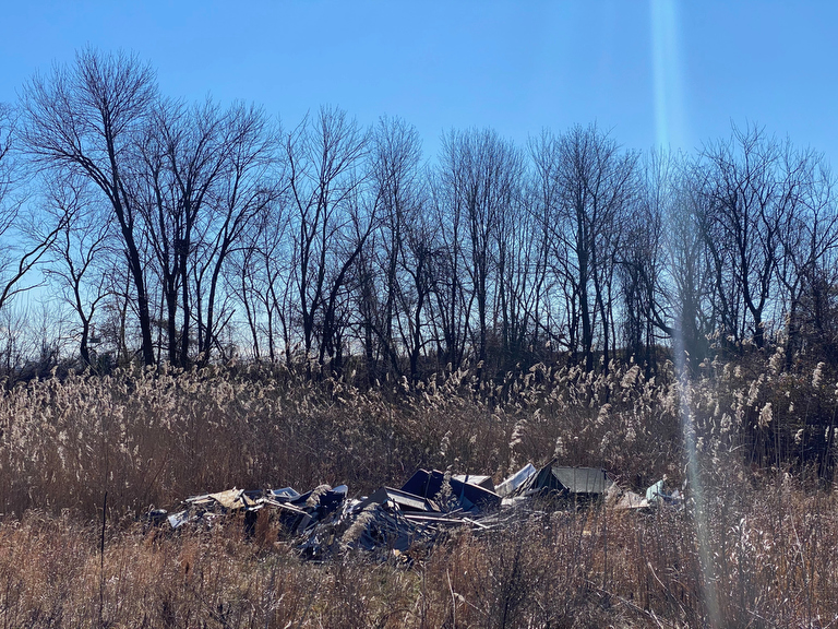
… as these remote sites are often targets for illegal dumping.
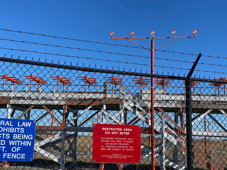
Towards the southwestern corner o the airport, we find the arrays of lights that help guide planes to the runways… and nice clear “restricted area – do not enter” signage that helps make it clear that the are that we’re in, while maybe less frequently visited by pedestrians, is actually *not* restricted.
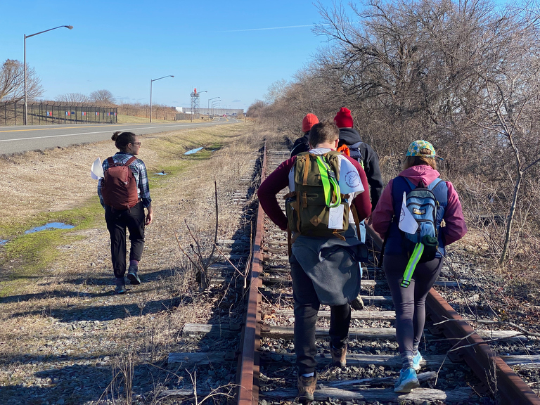
Here, the city border is far ahead of us, so it doesn’t really make a difference which side of the road we’re on…
With a nice wide shoulder and clearly abandoned railroad tracks, we opt to stay away from the occasional speeding car and instead look for opportunities to be closer to the water…
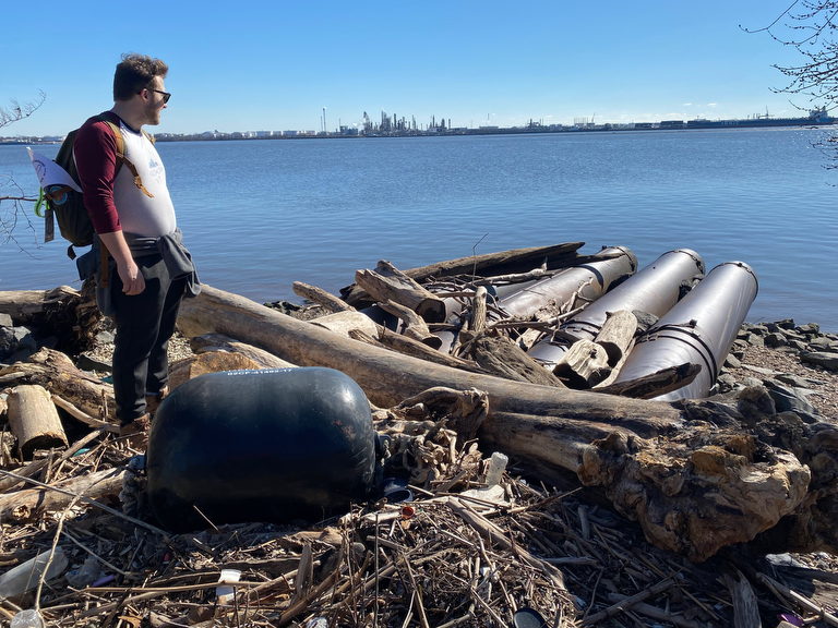
… where we occasionally encounter giant pipes…
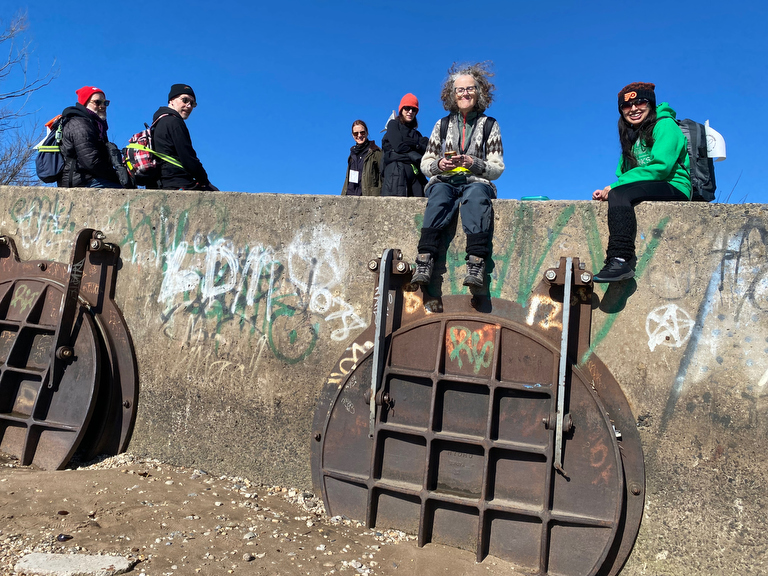
… and huge water outflow valves that allow for rainwater runoff from the vast airport runways.
And as we pause for a lunch break amidst these vast landscapes and giant infrastructure, one of our walkers notices…
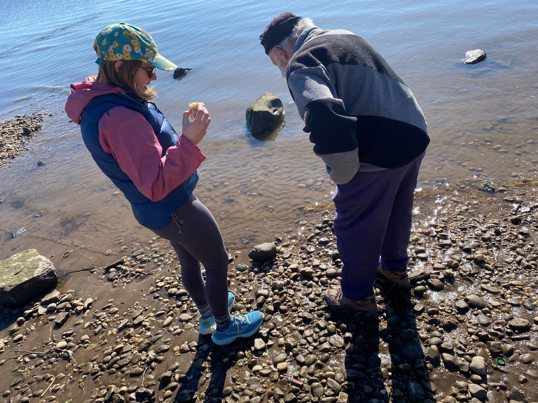
… something small there… one of the rocks is moving?
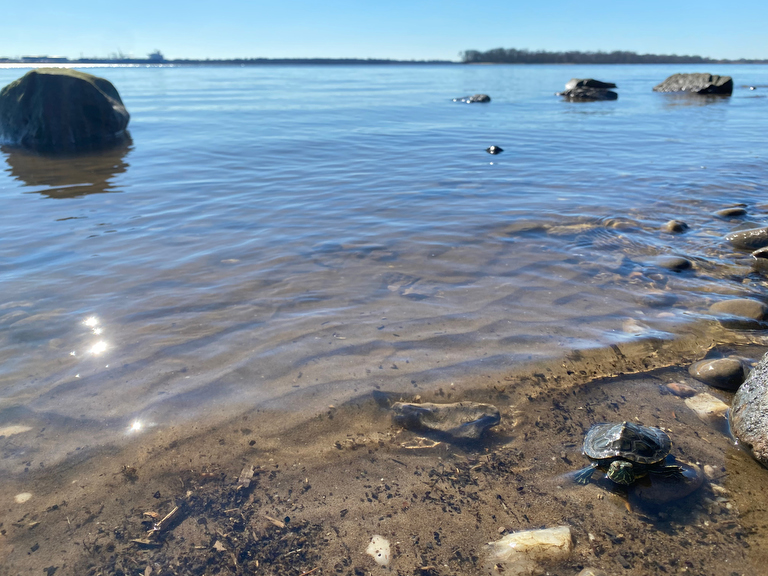
… and there, amidst the vast horizon of the wide Delaware River…
a tiny turtle!
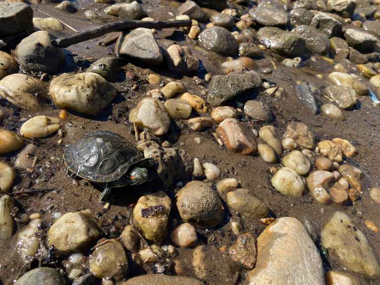
It’s a red-eared slider… same kind that I had when I was a kiddo.
Apparently they were introduced to the region as pets and are now considered quite invasive.
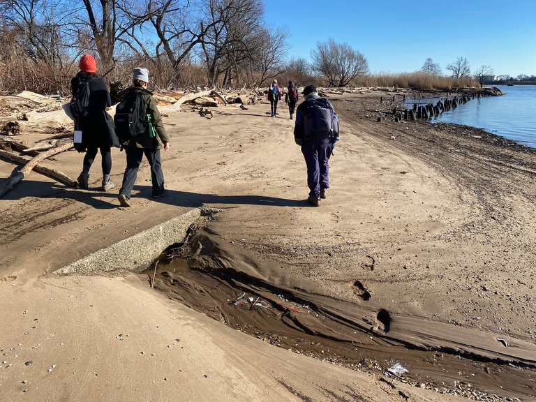
We opt to continue along the water’s edge a bit…
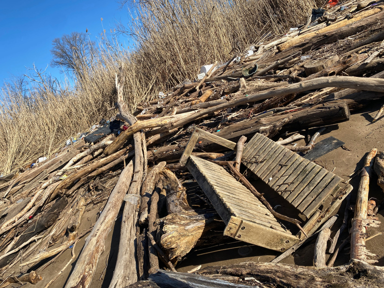
… encountering lots of driftwood and the occasional washed-away porch swing…
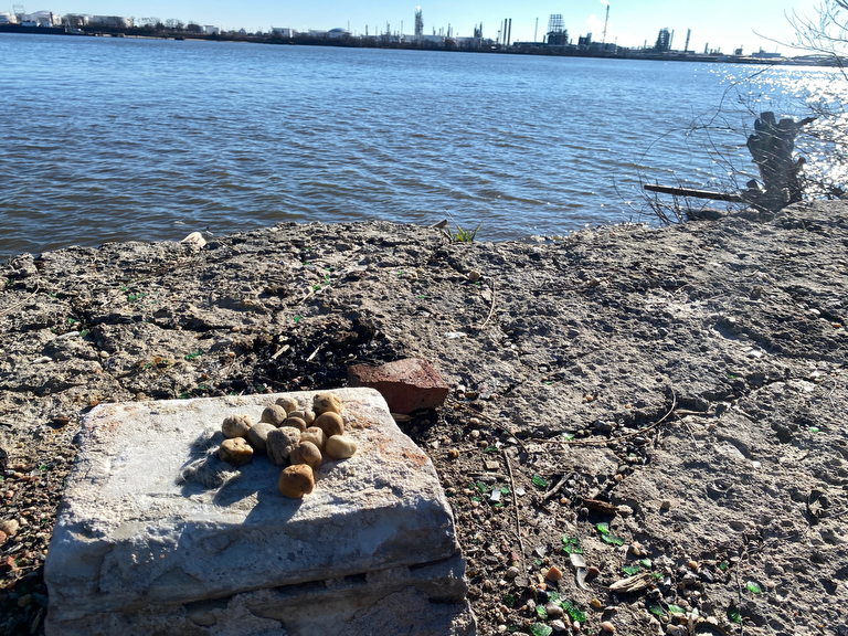
… mysterious riverside installations of rocks…
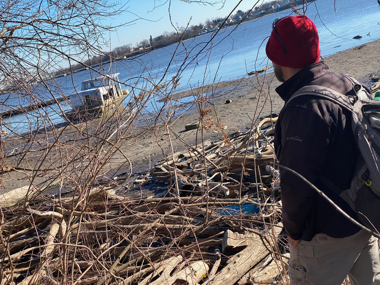
… and further along is an abandoned boat.
The group walked right by this one, but I put on my tour-guide hat for a moment to draw their attention to it.
When I’d first spotted this wreck a few walks back, it was floating amidst a big lagoon of water… but on a more recent walk at low it was accessible enough at low tide for a few of our walkers to explore it.
This time, we took a peek and opted to keep on moving.
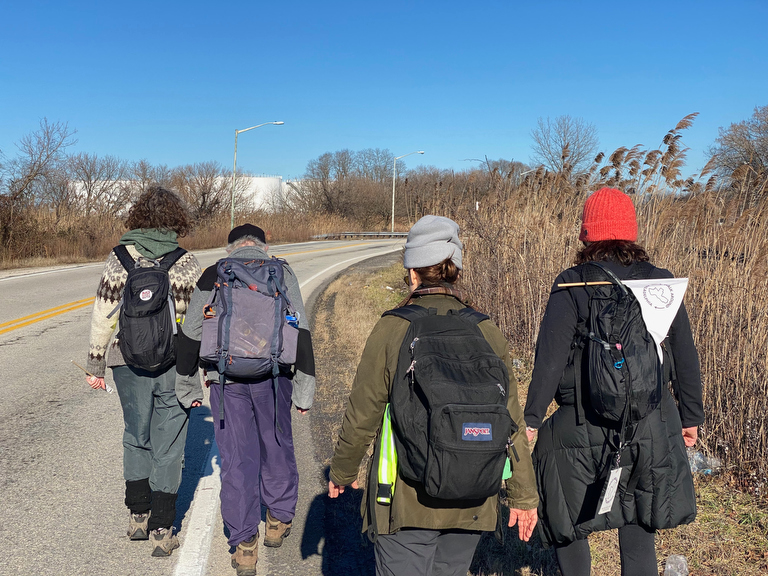
As we continued along this desolate road where drivers are few and pedestrians nonexistent…
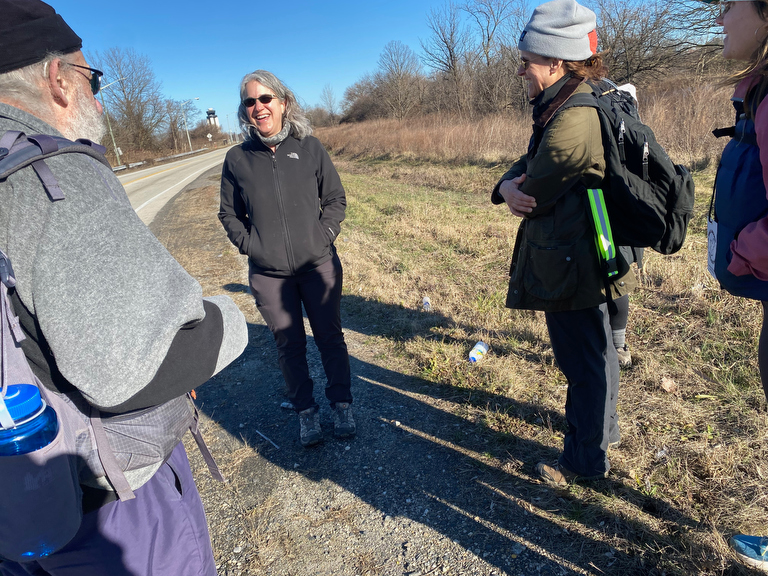
… we suddenly ran into a pedestrian!
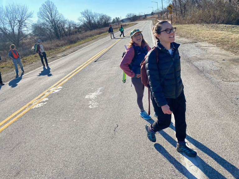
She invited us to (carefully) cross the road to the meadow ahead…
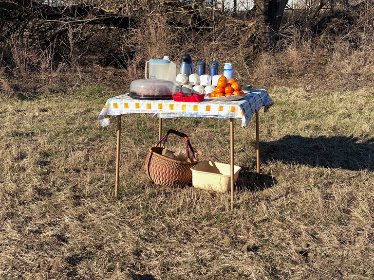
… where she had prepared this amazing snack table!
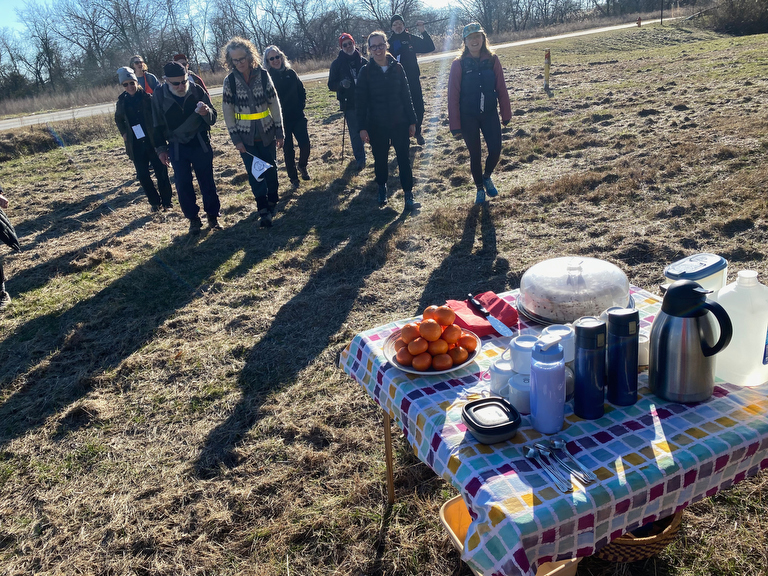
TA-DAAAA!
It’s an amazing Trail-Angel moment where perimeter-walker Rebecca has intercepted us with treats…
(and was the first of what would end up being five such sweet surprises along the walk’s twelve segments this winter…)
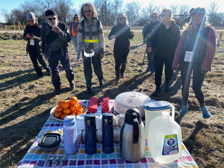
Suddenly faced with this gorgeous spread of chai tea, espresso, water, clementines and fresh-baked poundcake, our walkers now understood why they’re called “Trail Angels”!
(Note: you don’t have to be as fancy as Rebecca to be a Trail Angel. If you’d enjoy supporting a group of walkers with some surprise snacks, we’d be thrilled to have you.
All it takes is a penchant for hospitality and a bit of flexibility & patience, although it’s also quite helpful to have a car and be comfortable reading maps.)
If you’d like to be a Trail Angel, drop a line to walk@jjtiziou.net!
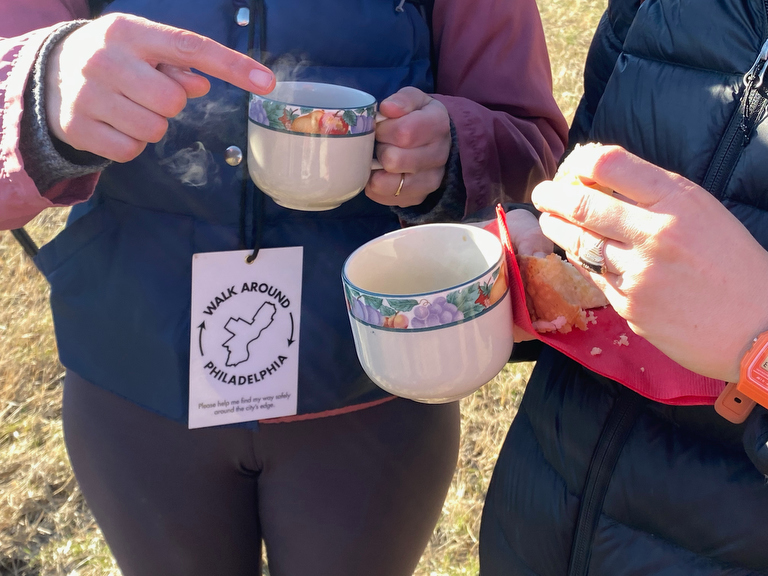
The treats were delicious…
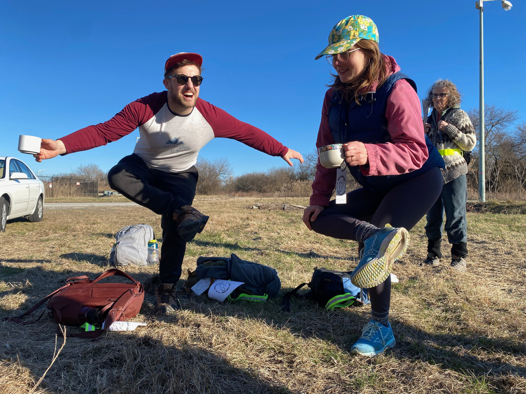
… and the break was a great opportunity to stop and stretch…
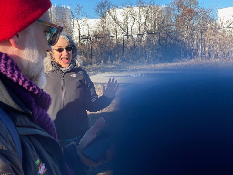
… and we were so grateful to Rebecca for her generous spirit!
(And, I knew that I’d be seeing her again the next day when she would join as a walker for the following segment…)
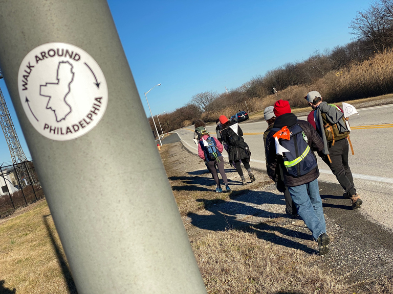
But it was time to continue on…
Walking all the way around the airport is a mini circumnavigation within our larger one…
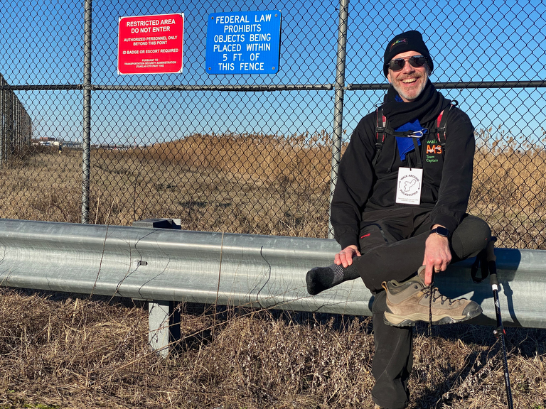
… and along the way we have to stop and take care of our feet…
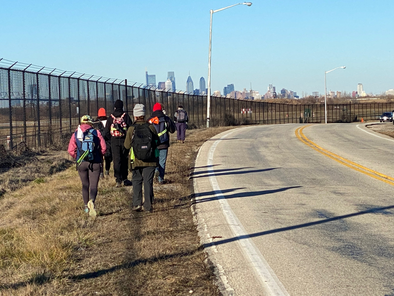
… because the airport is HUGE and we still have quite a ways to go!
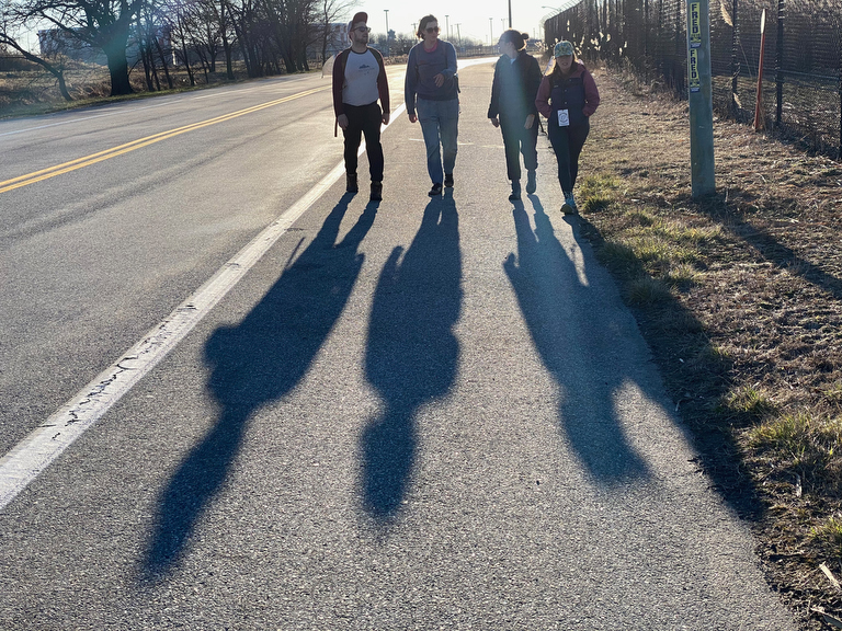
As the sun starts to get lower in the sky, casting some nice long shadows, we approach the spot where our map overlay tells us we’re about to cross the border back into Philadelphia…
…and while it’s sometimes hard to know super precisely where exactly the border lies without engaging surveyors…
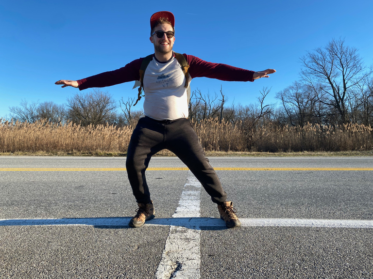
… this white line painted across the road does seem to be about in the right spot… so we assume that here it is, we’ve found the border again!
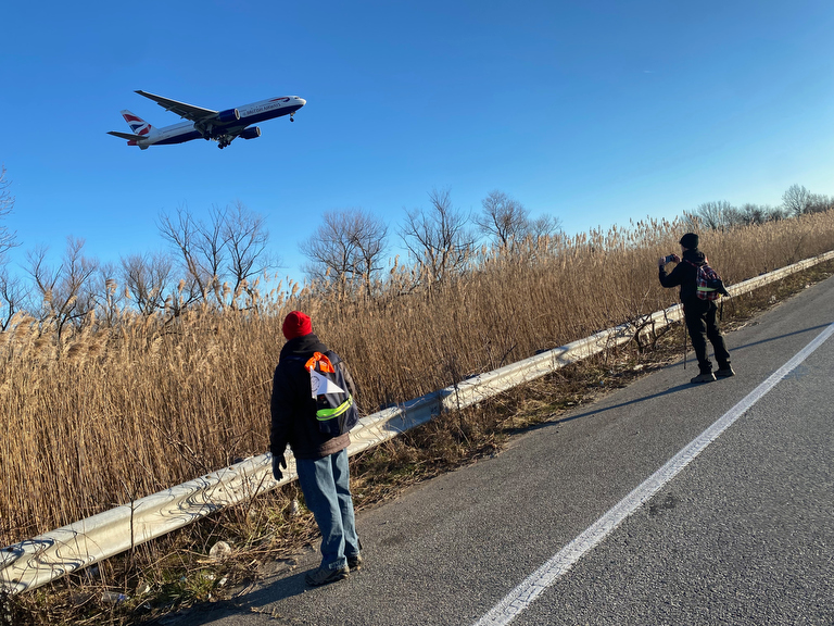
With planes on approach overhead…
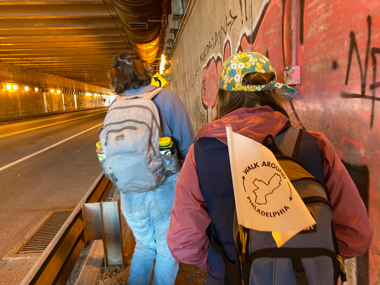
… we approach an underpass…
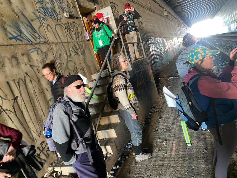
… and find a surprise emergency exit leading to a rail tunnel full of graffiti…
(Ok this wasn’t a surprise to me… I’d tried that door before, and this was another moment of my briefly enacting the role of tour guide)
From the other end of the underpass, we hit a point where it looked hard to get back up to the road level…
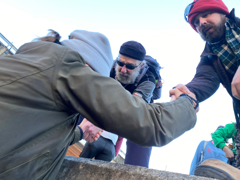
… and some of us helped each other up…
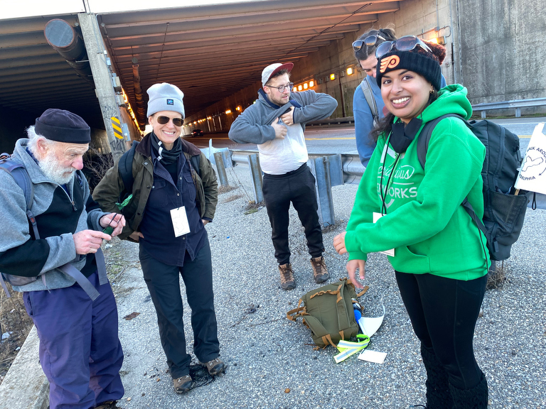
… while others just explored a bit further ahead and found a much easier path!
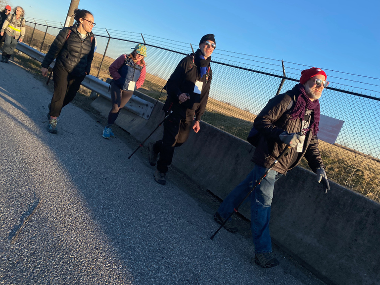
Continuing on around the eastern edge of the airport, we finally made it to the Doubletree Airport Hotel…
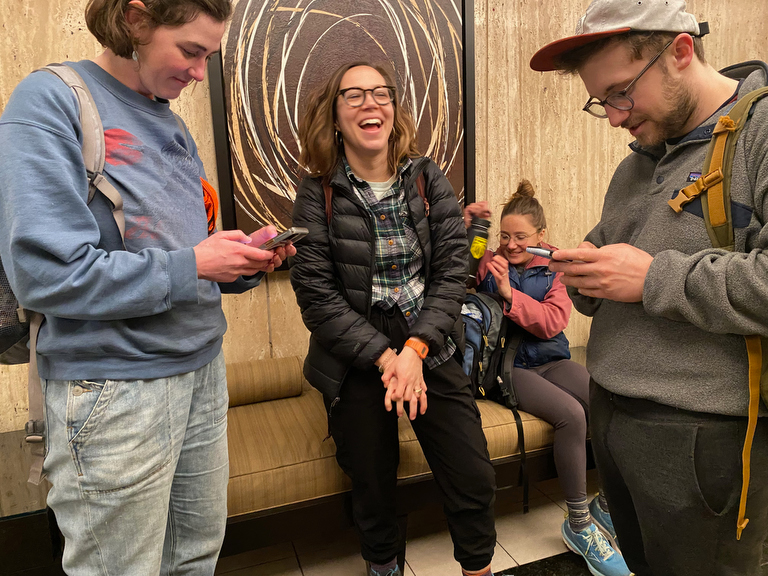
… where some of our crew was peeling off, so we took a moment to exchange numbers so as to be able to keep in touch with new friends!
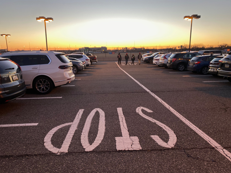
The sign says “stop” but the rest of us weren’t ready to stop yet… we’d decided to go all the way back to the terminals…
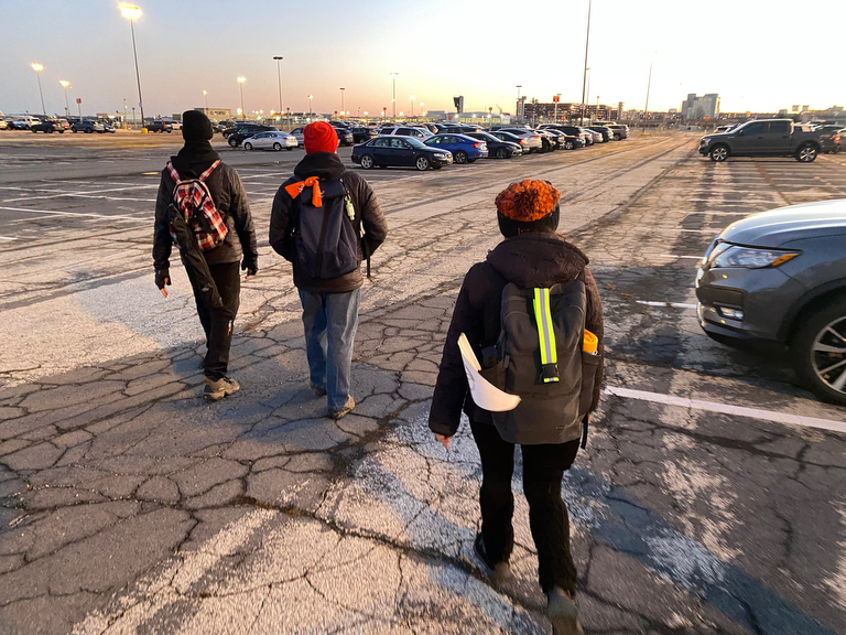
… which took us all the way across the economy parking lots, where at some point it seemed we might get stuck…
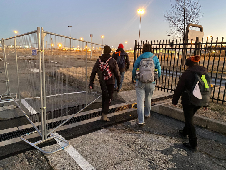
… but there was a pedestrian access between the fences…
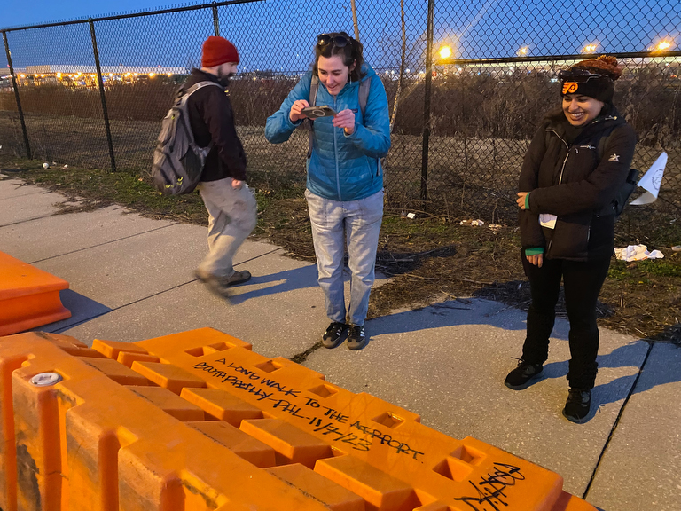
… and clearly some other pedestrian had come this way – we were delighted to find this bit of graffiti saying:
A long walk to the airport
South Philly – PHL 11/7/23
Whoever took that long walk last November, we hope that you might come join us for future walks ’round the city’s edge!
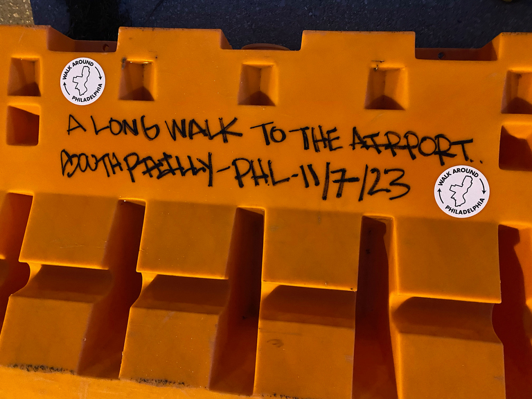
Our walkers added some little trail-blaze stickers to add our mark to this other walker’s sign…
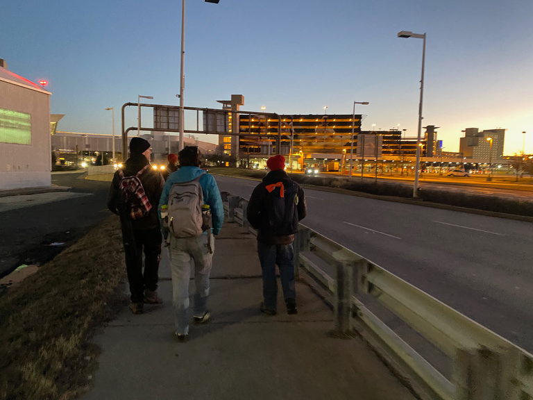
… and then we came up close to the first facet of that giant How Philly Moves mural that I was the lead artist on… although without lit properly, it doesn’t look like much by nighttime.
I do love that my two biggest projects that both celebrate & embrace the entire city (How Philly Moves & Walk Around Philadelphia) overlap in physical space right here!
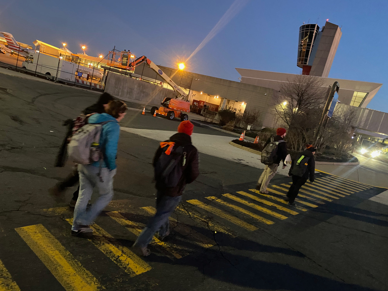
We’re still not quite there yet though… many more steps to get to the regional rail train that will bring us home to our own beds…
(Although I do suppose that I could someday book a night at the airport hotel and just resume this segment from here…)
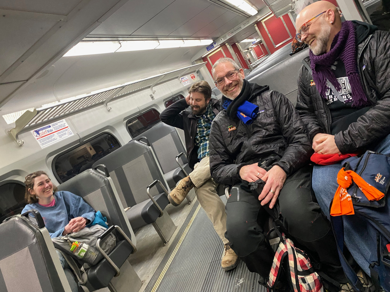
… but at last week make it, with Day Two DONE!
(And at this point, with my feet already sore, I’m having second thoughts about my choice to structure this iteration of the walk into three weekends of four days rather than four weekends of three segments, because doing four days in a row is going to be a lot!)
DAY THREE:
Airport towards Navy Yard
Since we opted to go the long way around the airport, Day Three starts back right where started in the baggage claim… except for this time, we’ll head East, continuing to work our way counterclockwise around the perimeter of Philadelphia.
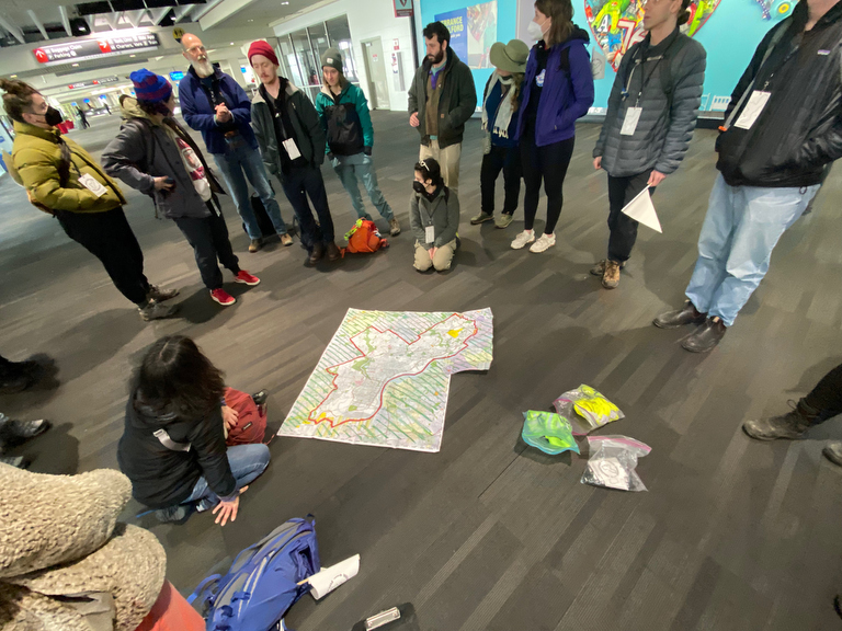
As we do our morning orientation & introductions, we find that one person joining our group this morning is environmental artist Stacy Levy, whose work I’m familiar with from an installation further upstream near the Washington Ave pier (on tomorrow’s itinerary) but it turns out that she has another installation on the city’s edge…
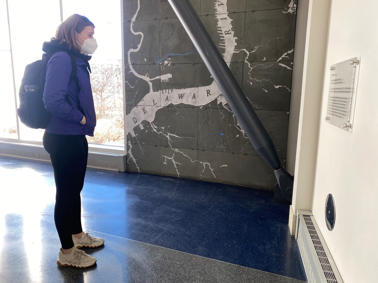
… right here in the Terminal F baggage claim!
This large trio of works (Three Views of a River) is a gorgeous installation in a less trafficked corner of the airport… I’d definitely recommend checking it out when you’re next nearby with time…
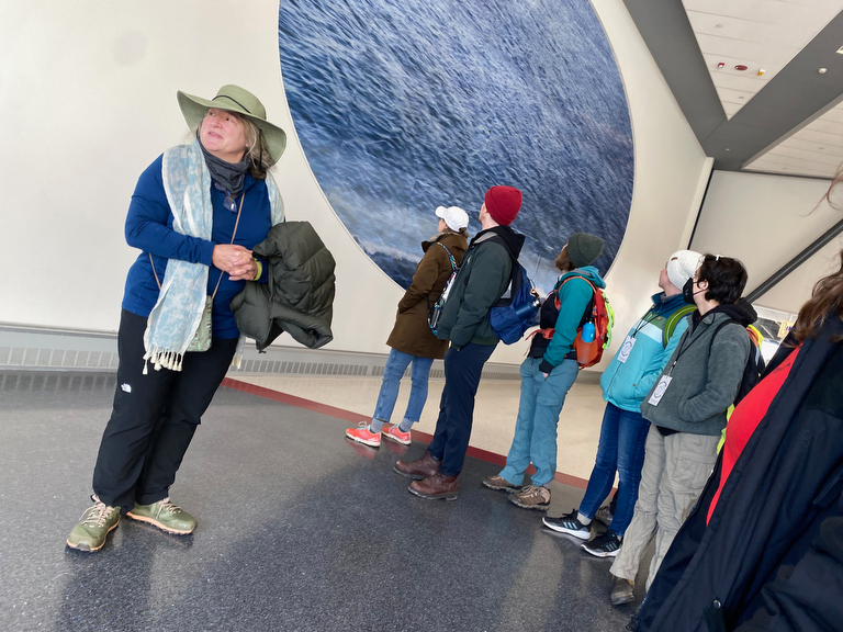
… and it was so great to get a mini expert-talk from the artist herself!
This for me is another classic Walk Around Philadelphia experience:
I’ve already circumnavigated the whole city on foot *twelve times* and still here’s another day that’s starting off with something completely new for me.
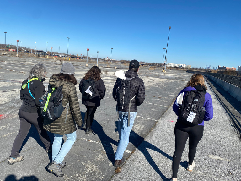
We set out again across the economy lot that we’d traversed the day before…
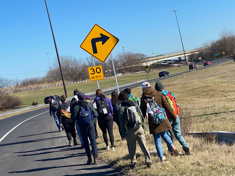
… but this time we continued east towards the Platt Bridge.
(The I-95 bridge is technically closer to the city’s border, but to my knowledge there’s no pedestrian-safe access across it…)
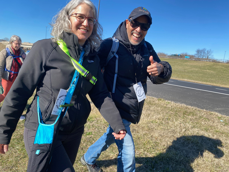
Our crew was in good spirits…
… as we passed under I-95…
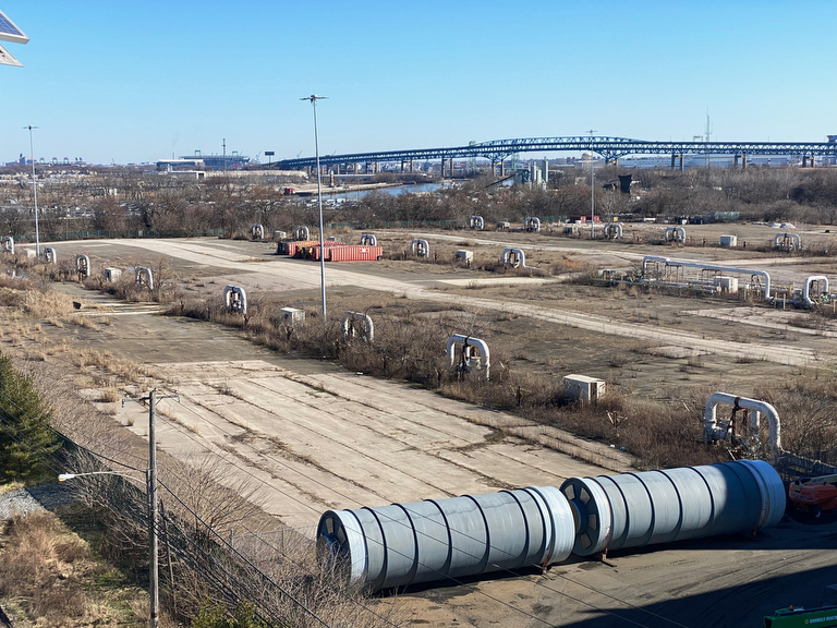
… and over waste-treatment infrastructure…
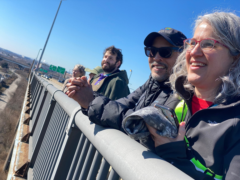
… pausing repeatedly to take in the views…
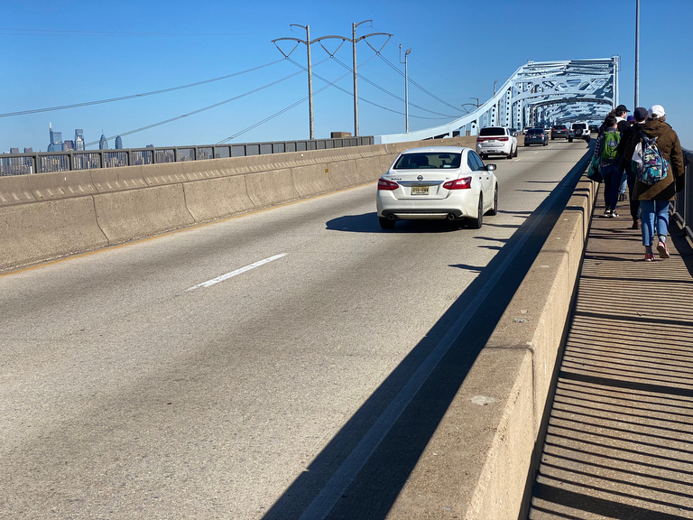
… as we continued to make our way up the bridge.
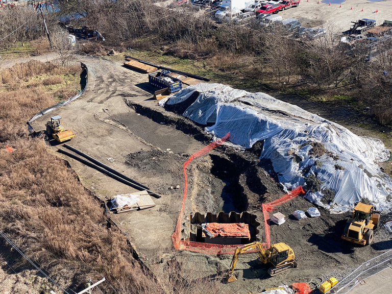
Things look pretty cool from up there, whether you’re looking down at construction…
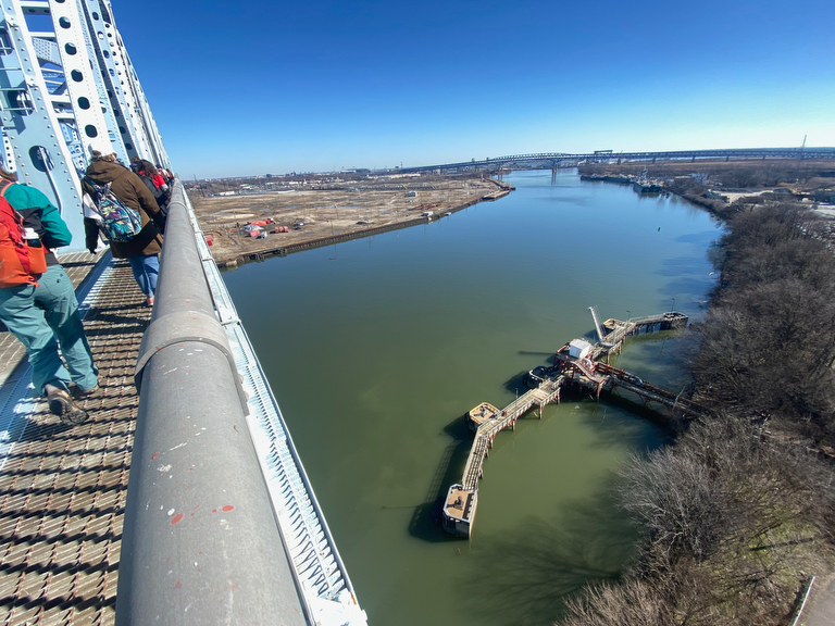
… or out at the vast horizon!
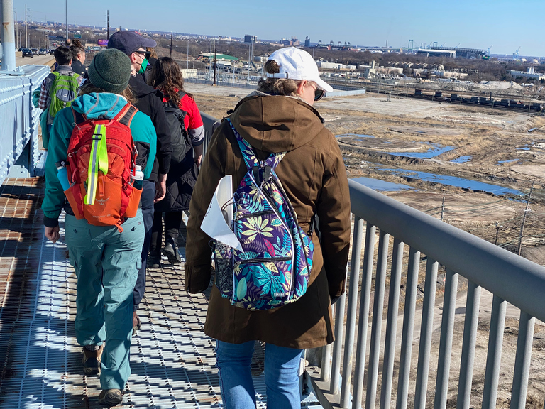
As we started to make our way down the far side of the bridge…
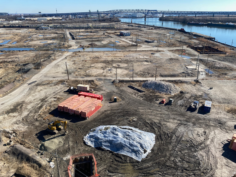
… we were able to get a good look at the state of the former PES refinery site that is being dismantled after being shut down after the 2019 explosions there.
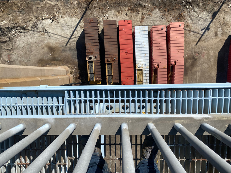
It’s rare to get to look down on cargo containers…
… and while some folks find this bridge crossing somewhat harrowing with its combination of heights and proximity to high-speed traffic…
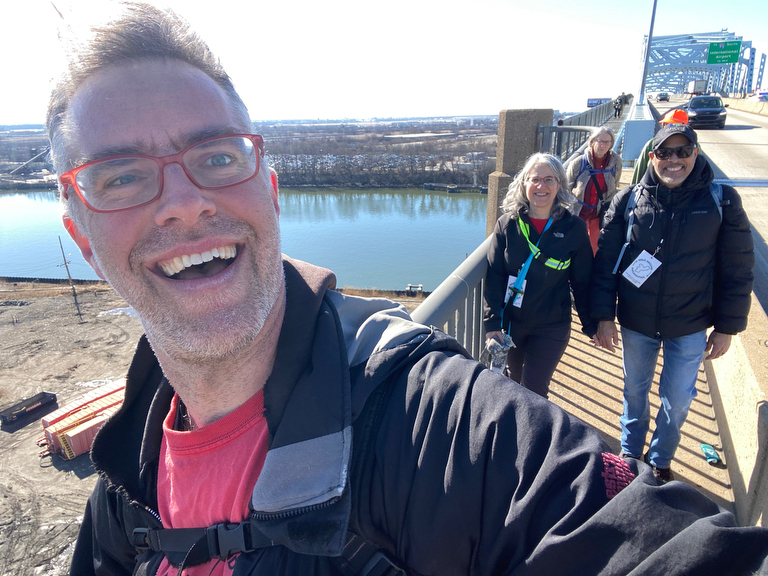
… I kind of love it.
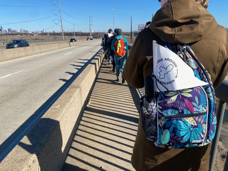
As we reached the end of the bridge…
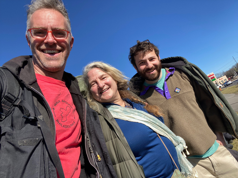
… it was time to say goodbye to Stacy…
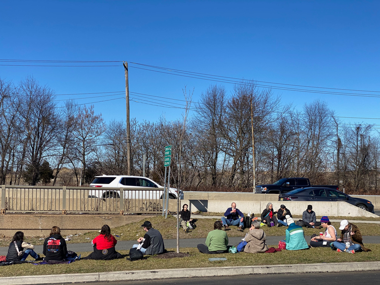
… and take a snack break in the sunshine…
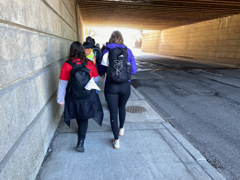
… before resuming our journey into the Navy Yard.
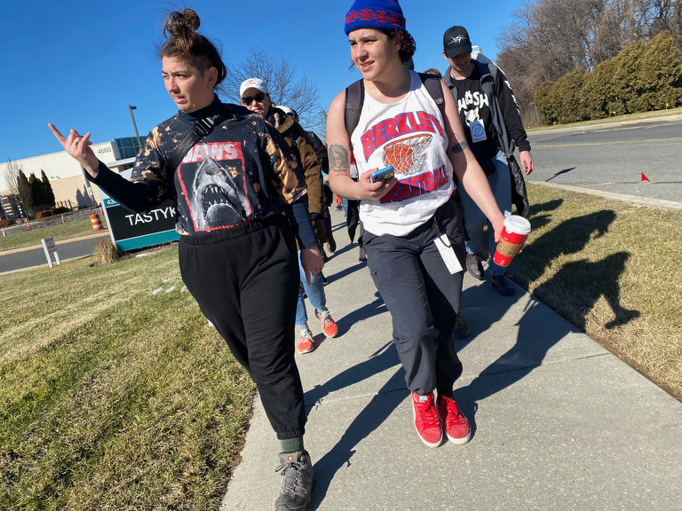
As we approached the Tasty Kake factory…
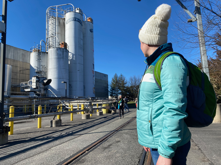
… we took a moment to take in the giant silos…
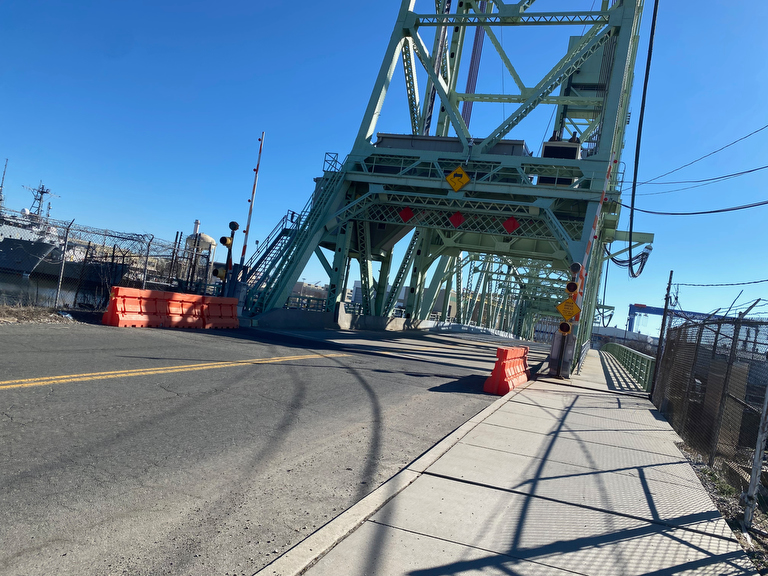
… before crossing the 26th St bridge…
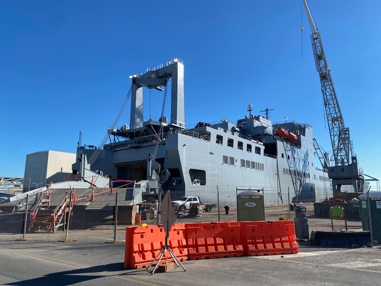
… and making it into the part of the Navy Yard that has actual US Navy ships…
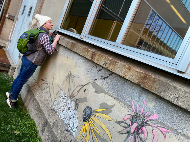
… alongside the URBN campus, where our curious walkers couldn’t resist taking a peek through the windows into the deserted offices.
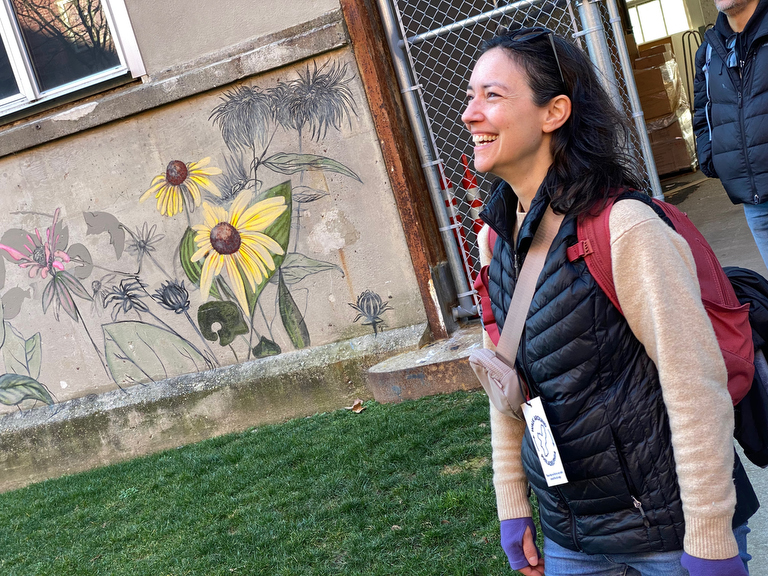
It was a glorious day and we were in good spirits… and while I’d already seen this lovely art on the wall…
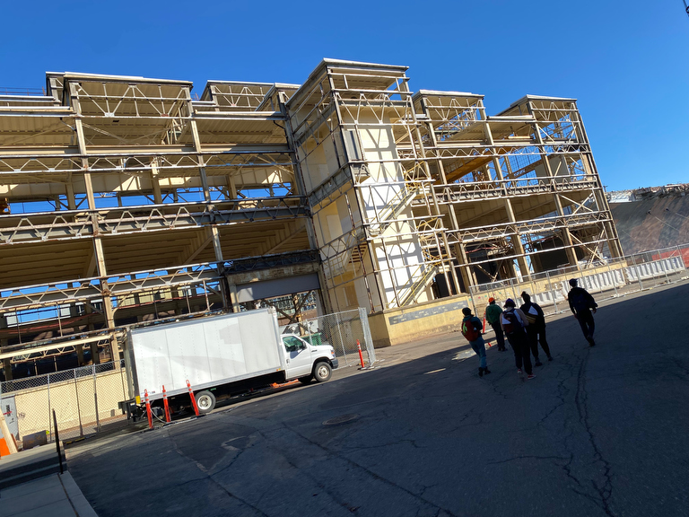
… I was surprised to see that this building’s facades had been removed and that it was being renovated…
Other walkers coming through there for the first time paid this no notice… there was something more interesting ahead:
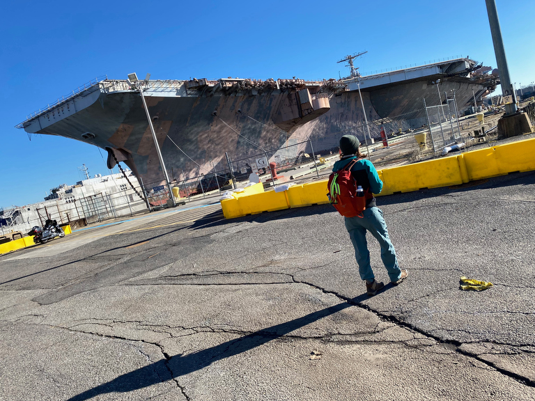
… a giant aircraft carrier!
This hulking decomissioned ship (the USS John F. Kennedy) has been parked here in the Navy Yard for at least as long as I’ve been doing the perimeter walk (since Feb 2016, so at least 8 years) so while it’s quite a sight, it wasn’t much of a surprise to me…
… but as per usual, just when I think I know a place, there’s another surprise:
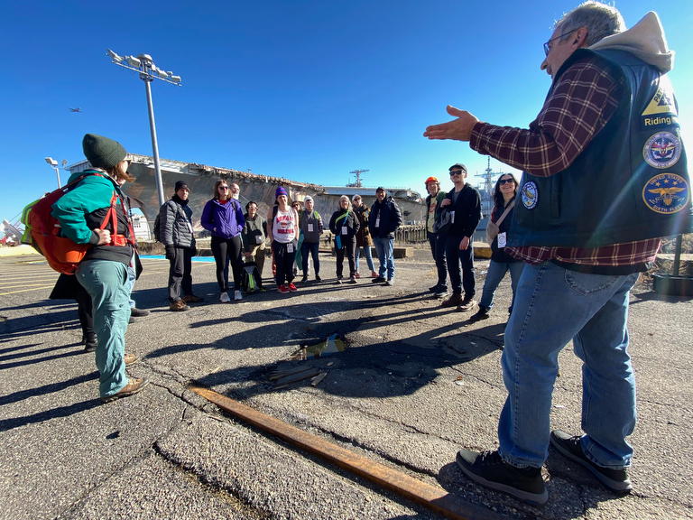
… we happened to time our visit to coincide with that of a sailor who’d served aboard the ship! (The ‘Big John’ as he called it…)
Tom gave us another impromptu expert lecture about life aboard this aircraft carrier, and gave me another surprise:
He old us that the ship was finally slated to be towed away to Texas to be dismantled for scrap… potentially as soon as the following week! So it’s quite likely that, after being such a striking landmark on all of my past walks, this ship will have disappeared by the next time that we find our way back around.
After making our way past the aircraft carrier, we took another little snack pause on the URBN campus…
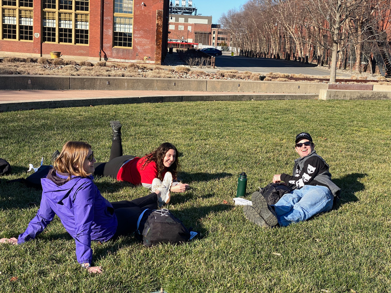
… which, with the picnic on the lawn adventure, really felt like a scene out of a college campus admission brochure.
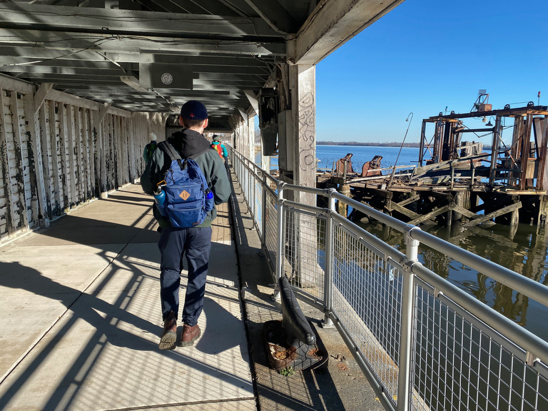
Continuing along the southern edge of the Navy Yard, we passed crumbling remnants of old infrastructure…
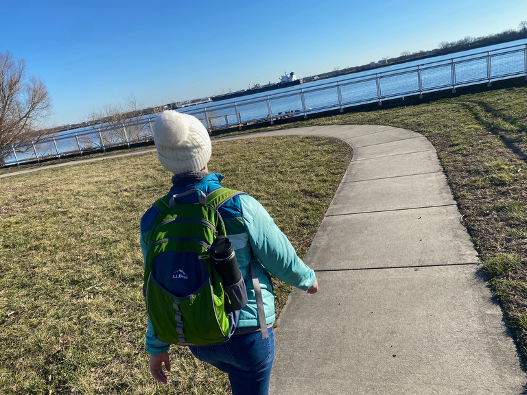
… and nice new walking trails…
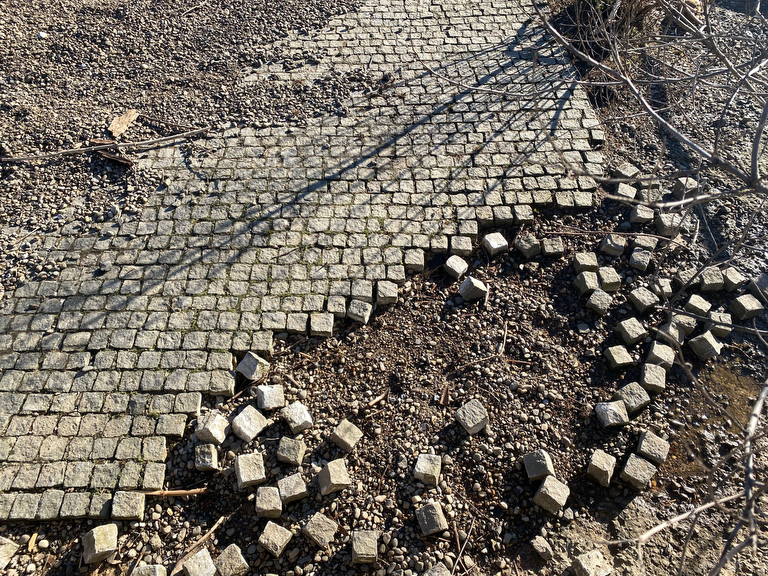
… overlooking old weathered stones.
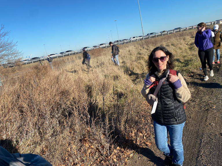
At the eastern edge of the Navy Yard, we hit the fenced-off area where fleets of newly imported cars are parked…
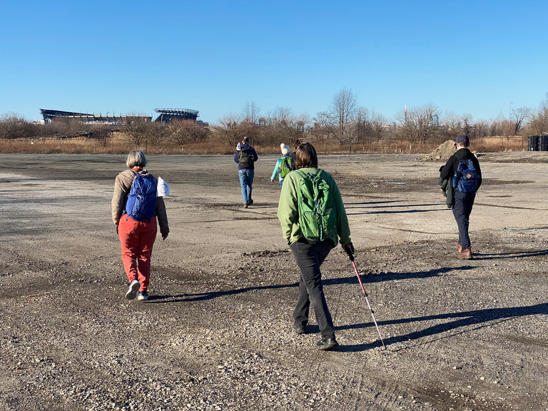
… and made our way back across vast tracts of vacant land.
(There’s still plenty of unused land in the Navy Yard, but also big plans for future development…)
The Navy Yard has plenty of fun little quirky details…
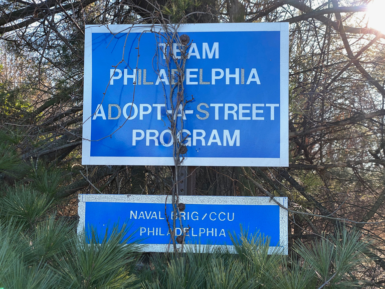
… like this sign tucked away in the edge of an overgrown wooded area….
(I googled it, couldn’t find anything…)
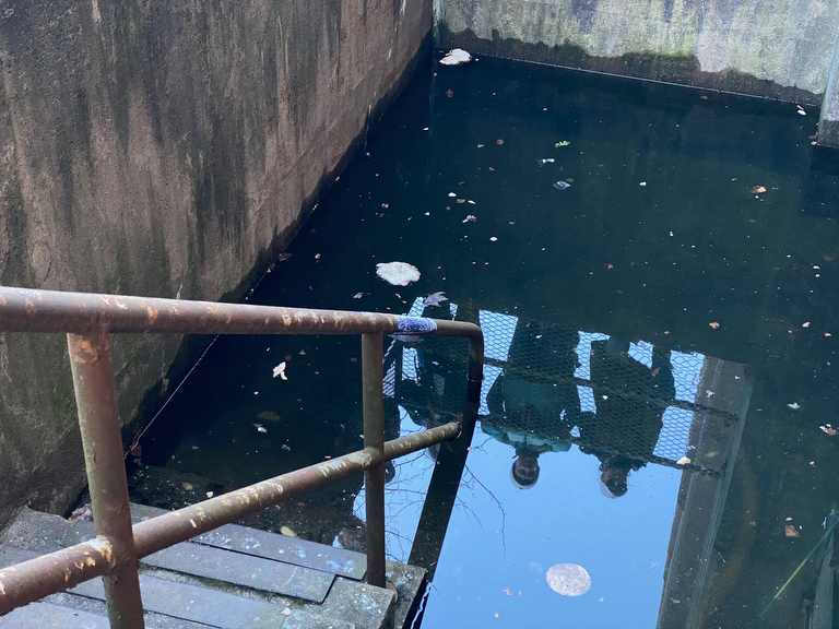
… and of course the famous fish-filled flooded basement.
(No fish in this photo, although I caught a glimpse of them as we first approached… but the noise of our large group seemed to have scared them away.)
We might have scared away the fish… but we got someone else’s attention…
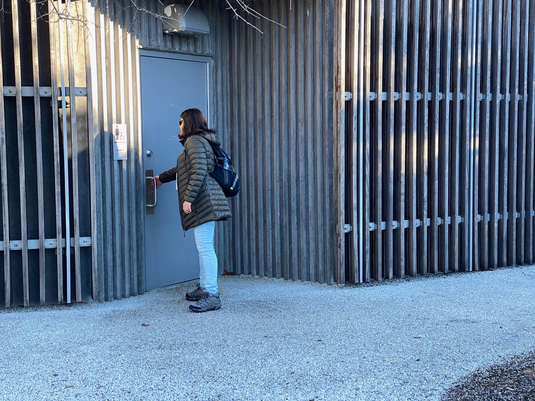
… as when we first arrived at the Central Green, the Women’s bathroom door was locked (we used the Men’s) but within a short period of time someone showed up and unlocked it for us!
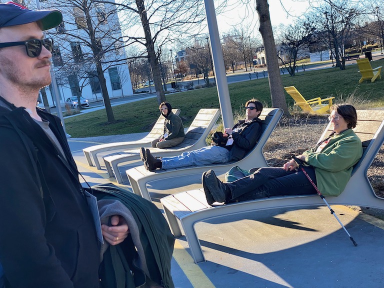
We’d made it to the end of our day, and the group started to separate with some being picked up…
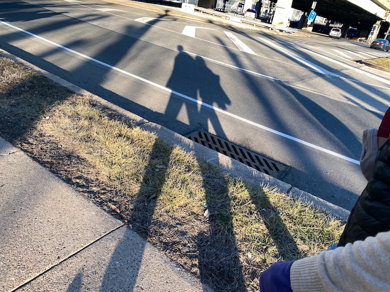
… and others tacking on some extra steps all the way to the Broad Street Line…
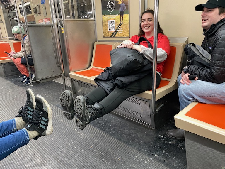
… because taking SEPTA is definitely one of the best ways to get to & from the segment start & end points when you’re setting out to Walk Around Philadelphia!
Instead of going all the way home though, I stopped off in center city to catch up with a friend, which gave me an opportunity to check out these special lamps on the south apron of City Hall…
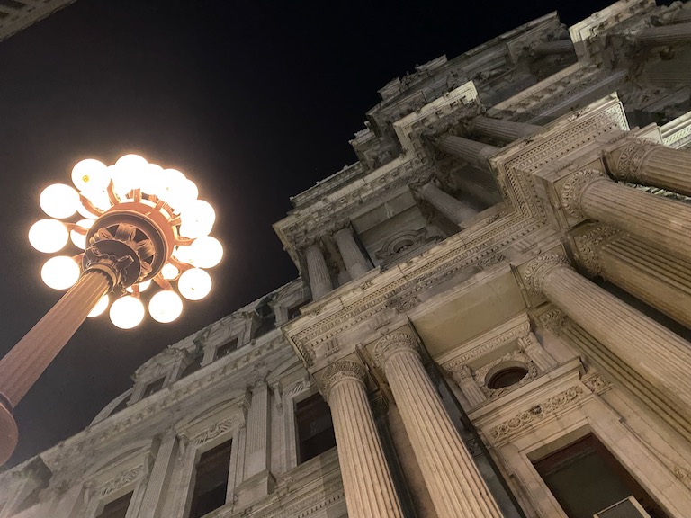
… I was familiar with these lamps but not with their history… the two on the south apron are the remainders of an installation of 28 lamps, each with 28 globes representing the 28 districts that merged with Philadelphia in the consolidation of 1854 that gave the city its unique vast shape that we’ve been exploring on foot.
DAY FOUR:
Navy Yard toward Penn’s Landing
Day four started with some multi-modal transportation on my end, as I took SEPTA and the Indego bikeshare to get back to the Navy Yard the next morning…
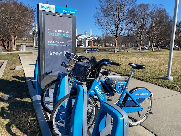
… and while at the station I paused for a moment…
… to dream a bit about the engagement & outreach potential of some advertising dollars here…
(… but before we get there we need to figure out how to fund a little bit more admin support and infrastructure on my end… the walk is already becoming more than I can handle on my own, and I’m going to need more resources before I try to grow it any further…)
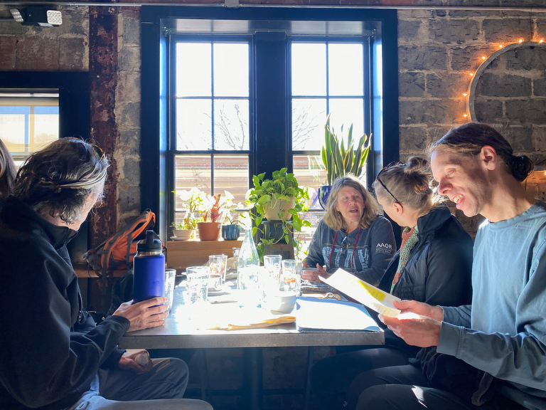
We started the day with an optional meal at the Gatehouse Cafe in the Navy Yard…
(One perk of doing ~10 mile segments in these iterations of the walk as opposed to the ~20 mile segments of the first few iterations of Walk Around Philadelphia is that it allows for a bit more time at either end for sharing meals with the group!)
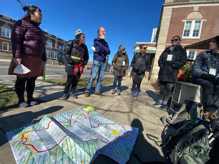
… and as we gathered for our morning ritual of orientation and introductions…
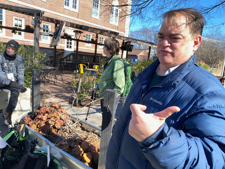
… we were joined by John McDevitt of KYW Newsradio who produced this great little radio piece on the walk:
Thanks John & KYW for helping share the walk w/ your listeners!
(… and, sorry John – everyone is indeed photogenic but I’m now retired from my photographer work, and I’m mostly just taking quick cell phone snapshots along the way to document the walk while trying to stay as present as possible with fellow walkers, so this isn’t exactly my finest portrait.)
The group opted to head directly towards the water and the closest point of the perimeter, knowing full well that we might have to backtrack since the southeastern corner of the Navy Yard isn’t generally accessible…
(… except when it is, but that’s another story….)
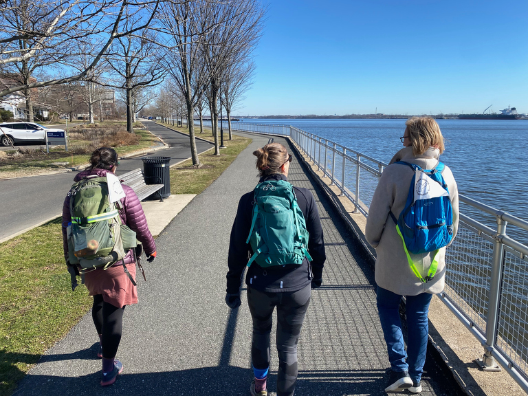
So much like yesterday, we found our way along the river’s edge…
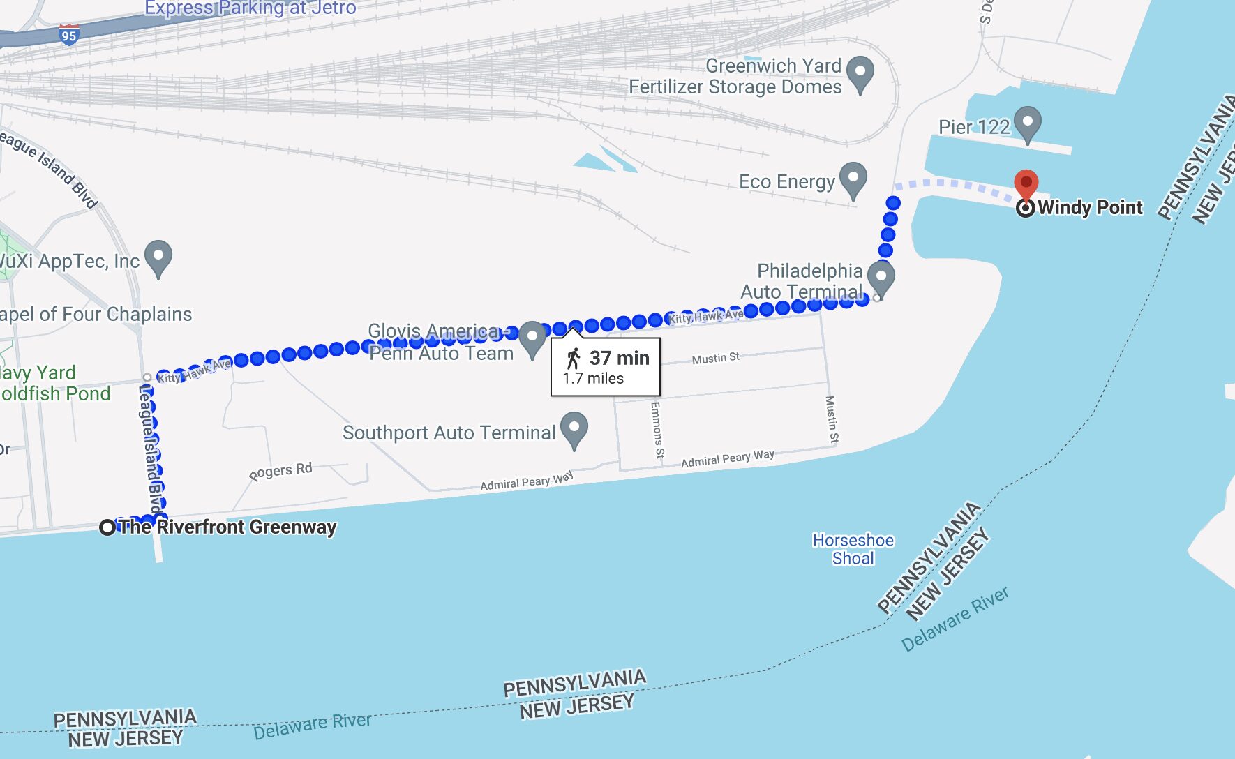
… and even through Google Maps claims that we should be able to walk right through the auto terminal…
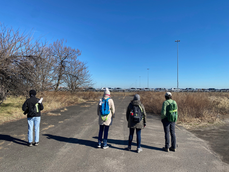
… we were forced to turn back by kind security folks at the fenced-in compound of newly imported cars…
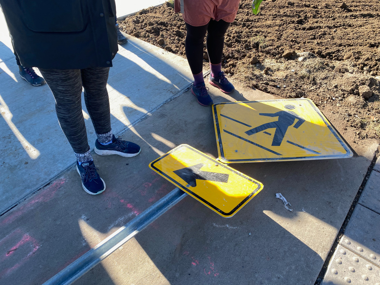
… but who knows, pedestrian paths change and maybe someday there’ll be a trail for us around that southeastern corner.
(The Navy Yard Plan shows a potential for a third major road exit over the rail tracks towards the east, and a I recently spied a potential for a walking/bike trail around the entire southeastern corner on a city planning map… suffice to say that Walk Around Philadelphia is a practice, not a fixed path, and our routes will continue to change as the landscape does!)
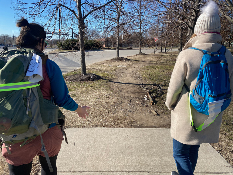
For now, we were forced to double back to where we started at Broad Street, and find our way out of the Navy Yard there…
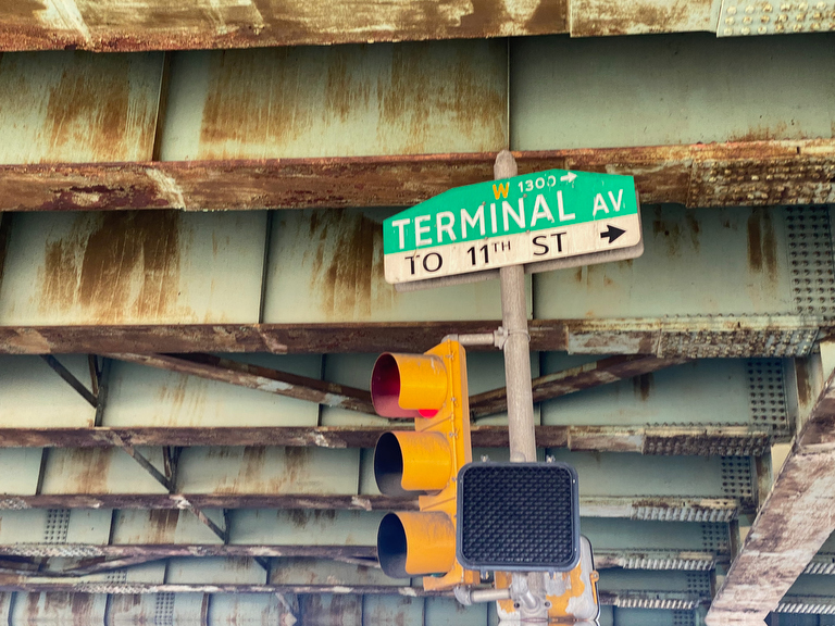
… which brings us to Terminal Ave, a strange road that runs…
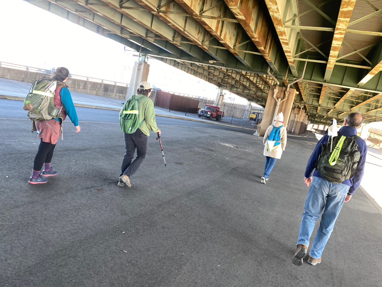
… directly under I-95!
This doesn’t last long through, and we’re soon forced further away from the perimeter…
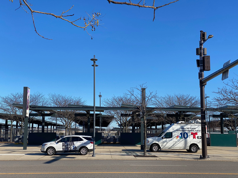
… and up along Pattison Ave by the stadiums.
We may be further from the city’s border than we’d like…
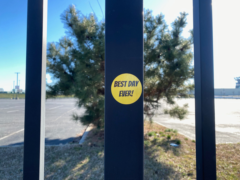
… but this random sticker captures the spirit of the walk.
Plus, this detour along Pattison Ave brings us to…
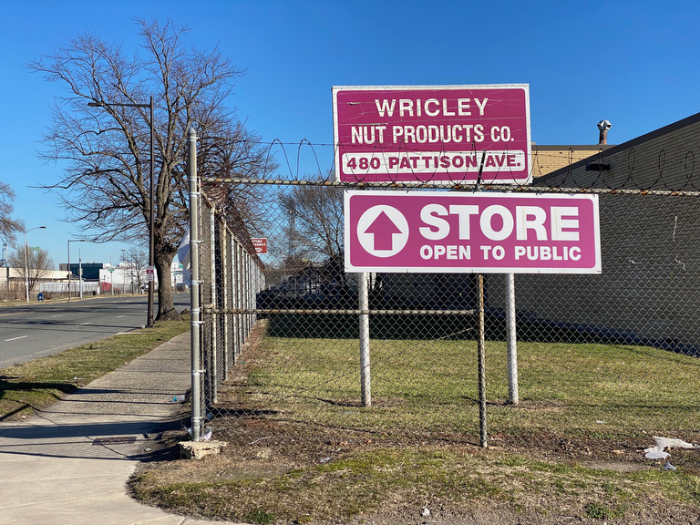
… the secret nut factory of South Philly, where the Wricley Nut Products co has their operation…
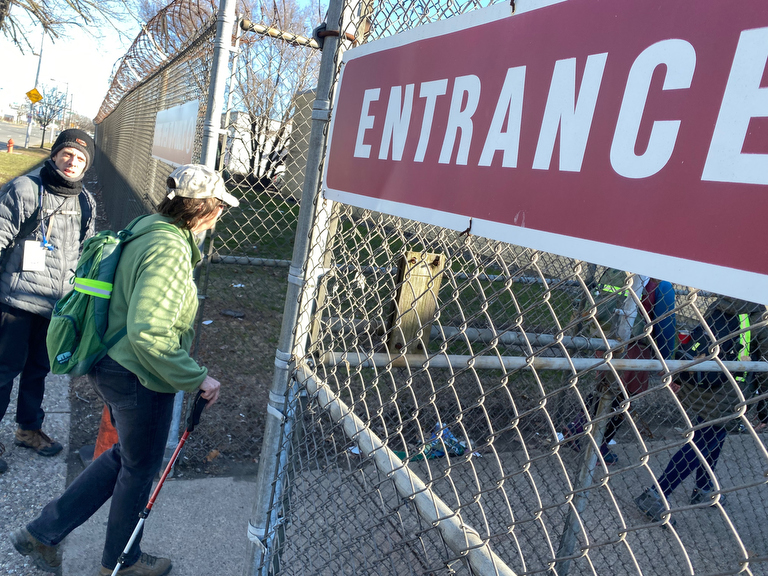
… the entrance is a bit foreboding, with chain link fence topped with razor wire, and just a mysterious sign that says “Entrance” and another saying “Store Open to Public”…
… and then all of a sudden we find ourselves…
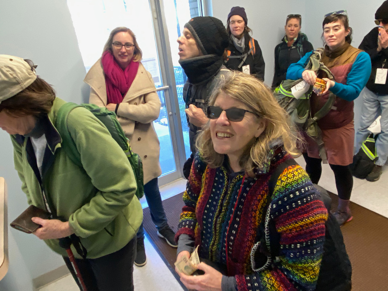
… in a funny little lobby space…
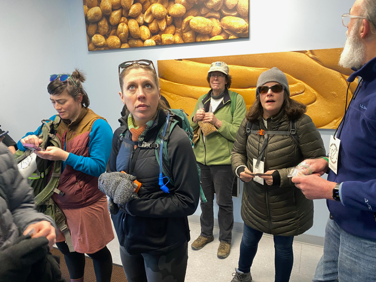
… that has been upgraded with nut & nut butter imagery since we were here in September…
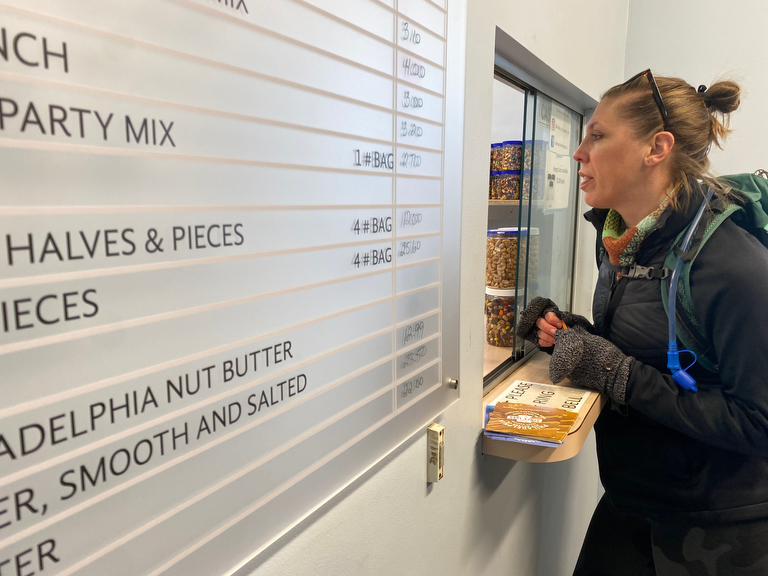
… and so we queue on up for party mix…
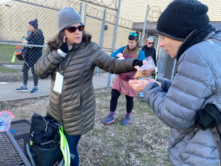
… and share in that wonderful walk tradition:
The sharing of snacks!
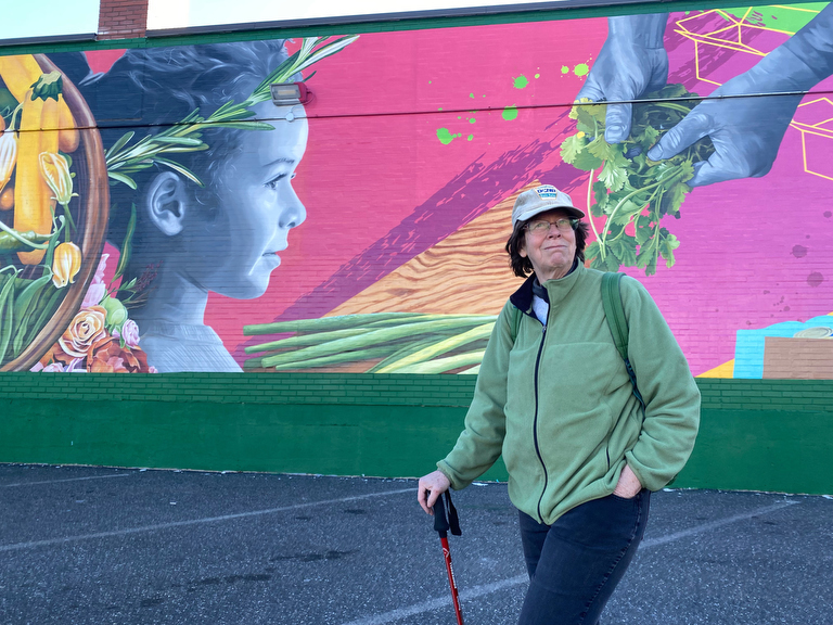
Further ahead is Philabundance… this big beautiful mural on their warehouse walls was already here in September, but it too has changed a little bit:
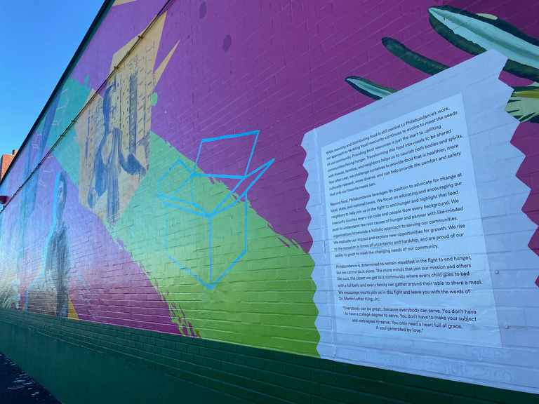
… when we were last here in September, these text panels simply said:
historical text
itemssdghklooutreqwdfh
rghkiyrwsdhklpoutwq
Lorem ipsum dolor sit amet, consectetur adipiscing elit, sed do eiusmod tempor incididunt ut labore et dolore magna aliqua. Ut enim ad minim veniam, quis nostrud exercitation ullamco
Now the final text has been applied… and if you look *really closely* you can still see the placeholder “Lorem i-sun” text has been painted over!
Noticing these small shifts in the landscape is one of the delights that come with doing the perimeter walk over and over… it keeps on changing!
And so we continue on…
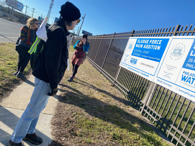
… past the Sludge Force Main Addition…
(With thanks to the Philadelphia Water Department for taking care of our wastewater!)
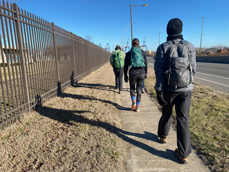
… eastwards along Pattison Ave, until it turns into Columbus Blvd andcurves north towards…
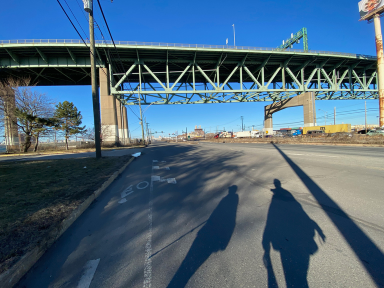
… the Walt Whitman Bridge.
And as we pass under the bridge, I find another surprise…
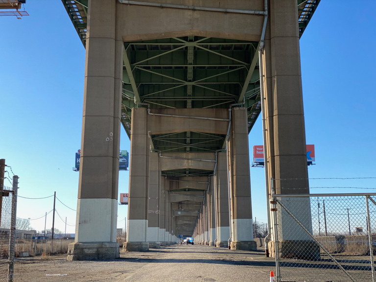
… the gate that is usually always closed and locked stands wide open!
I was sorely tempted to venture in and explore this special landscape under the bridge, but that would have taken us further from the perimeter… and definitely added more time to our day, when we still had quite a ways to go!
Continuing up along the river, we find some other major industrial sights including…
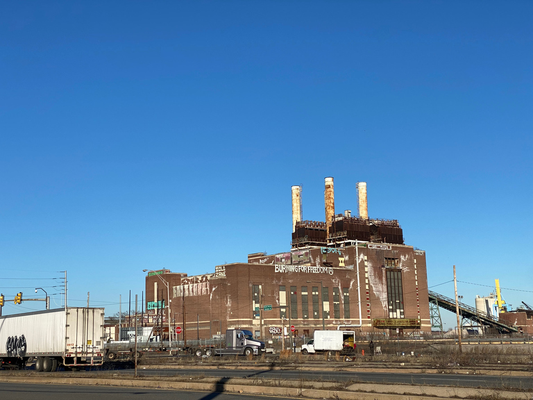
… the Southwark Generating Station…
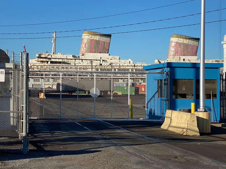
… the SS United States.
It’s another giant ship that, like the aircraft carrier that we saw in the Navy Yard on yesterday’s segment, has long been a stable landmark on the perimeter but may also soon be removed.
But it’s not just the big ships that are interesting here…
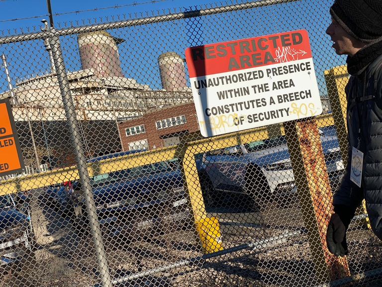
… I also really enjoy noticing the signage here, where many of the security warnings reference a “breach of security” but some of them reference a “breech” of security which is an entirely different thing…
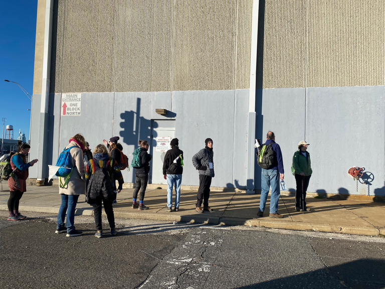
As we make our way towards the end of this industrial zone, we get another impromptu expert lecture…
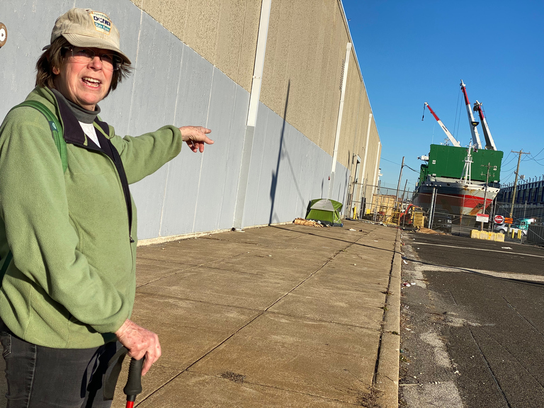
… as it turns out that Lynn who’s been walking with us knows a thing or two about cargo ships!
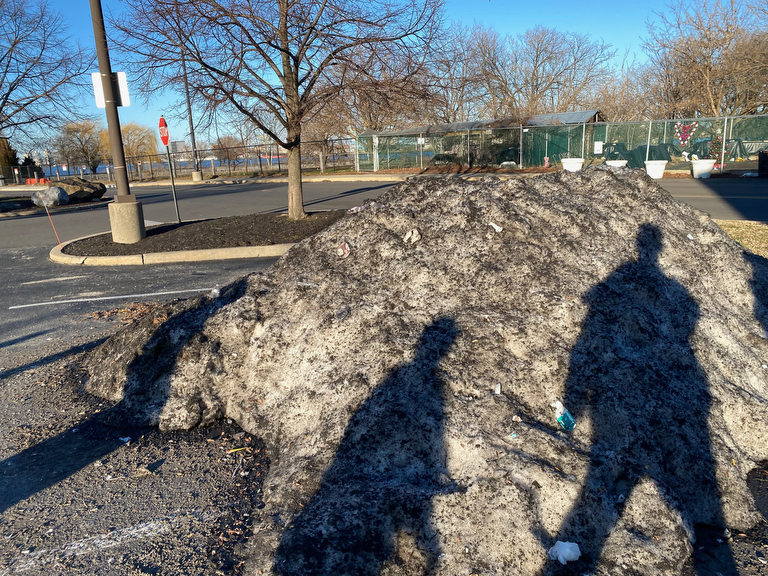
On this sunny day, we find some snow… a big messy pile of dirty snow in the shopping plaza parking lot…
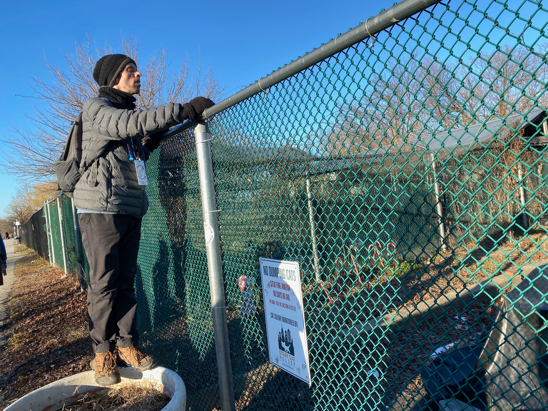
… right next to the cat colony…
(…one of the many on the Delaware River segments of the perimeter…)
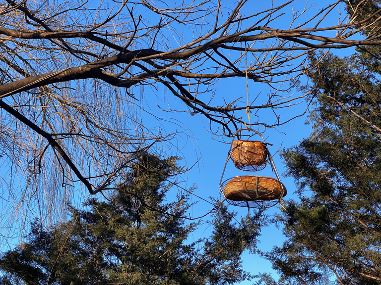
… and the mysterious loaves of bread hanging in the sky…
(I could never in my wildest dreams come up with weirder things to place along our route than what the city naturally provides…)
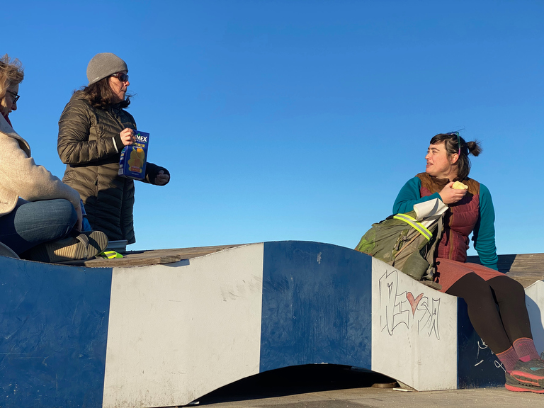
We pause on Pier 68 for a snack break in the evening light, and here’s another surprise:
One of our walkers, Sasha, strikes up a conversation with a young man who’s hanging out on the pier and, Pied-piper like, invites him to join us as we continue up along the Delaware River Trail…
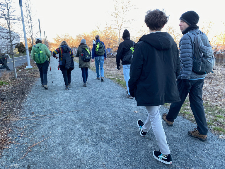
It seems that Corbin’s recent high school grad who grew up in South Philly; he tells us that he’s waiting to start a training program in the electrical trades. He ended up walking the whole rest of the day’s segment with us…
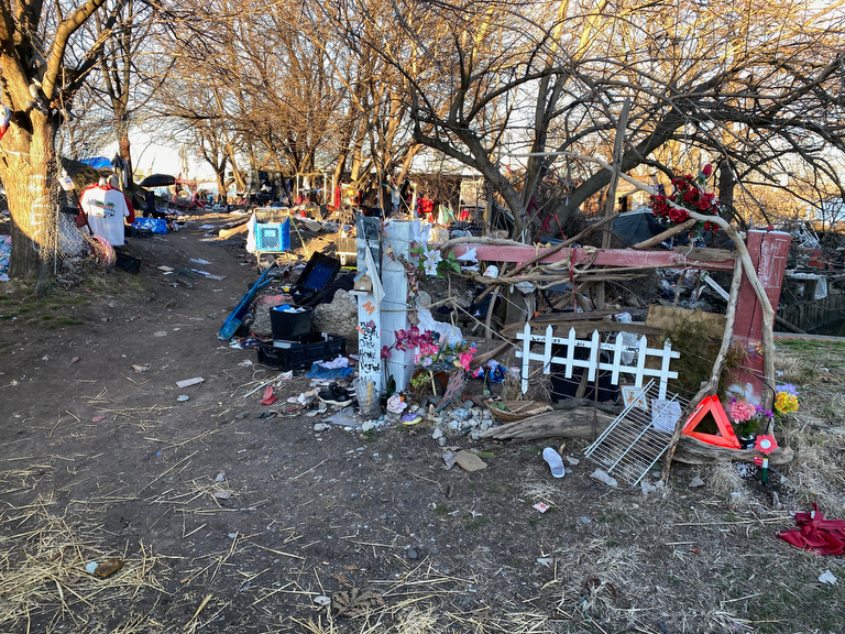
… past encampments…
(The areas at the city’s margins are sometimes places where our most vulnerable / unsheltered neighbors make their homes… and while some might perceive a threat from such marginalized individuals, I always feel like we are a far greater threat to them. We try to give them space!)
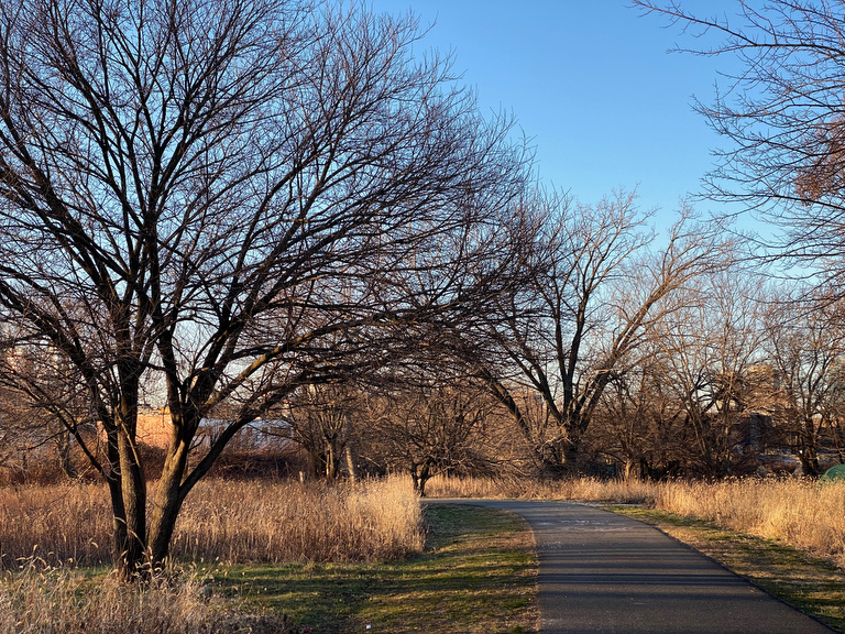
As the sun is getting low…
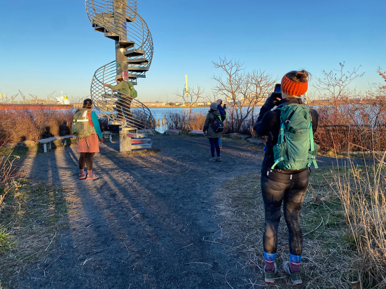
… we venture onto the Washington Ave Pier, site of Philadelphia’s first immigration station…
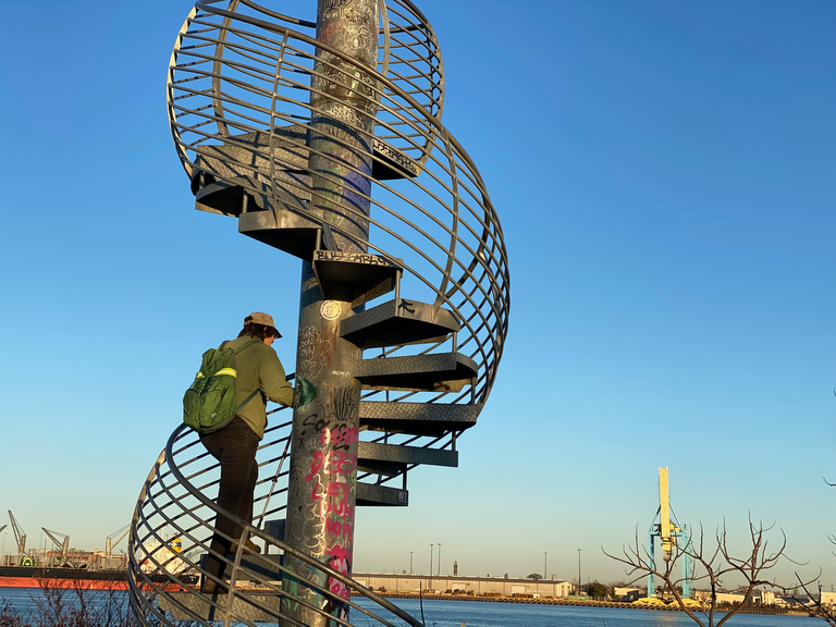
… and Lynn climbs up Jody Pinto’s “Land Buoy” spire…
This is a larger piece of public art / installation that probably required planning, design, and a good sized budget.
Once you walk out onto the pier, it’s hard to miss…
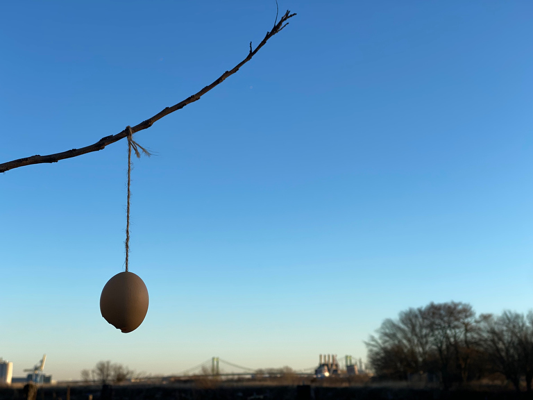
… but you might easily miss this other little art installation where someone tied an egg shell to a little branch.
I’m not sure why, but I found this little intervention quite moving. To whomever installed this, thank you for this little unexpected delight!
We’re nearing the end of our day…
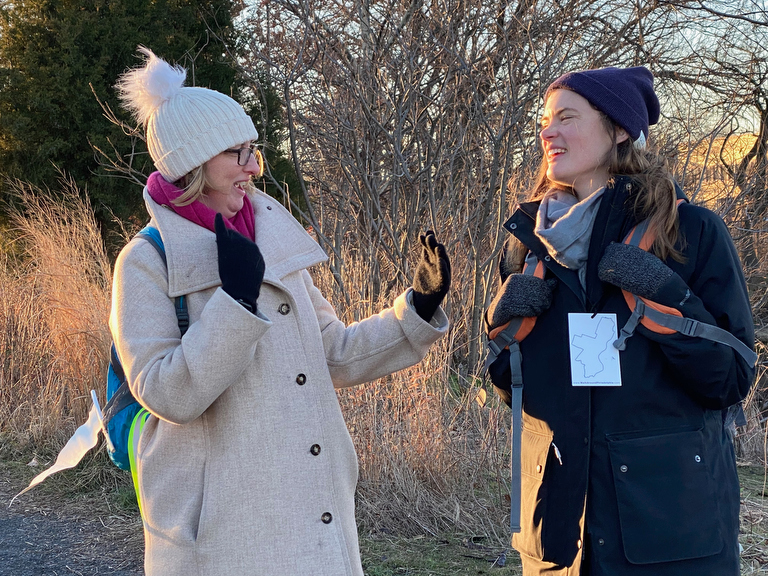
… this is the part where we’ve had time to establish relationships through several hours of walking together… and there’s plenty of laughs to share together…
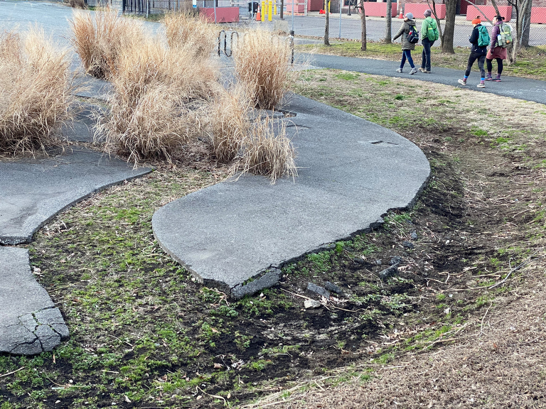
… and as we leave Washington Ave Pier, we pass by another art installation by Stacy Levy: her Dendritic Decay Garden.
I’ve walked by it so many times, but only learned more about in last September’s walk when her nephew happened to join on that segment, and now it’s great to see it having just met her in person and crossed the Platt Bridge with her the day before!
(Was it really only just the day before? There’s so many rich experiences in the walk that it all becomes a giant timeless blur…)
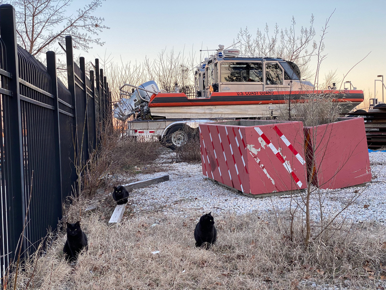
Further ahead: a trio of well fed looking black cats by the Coast Guard station…
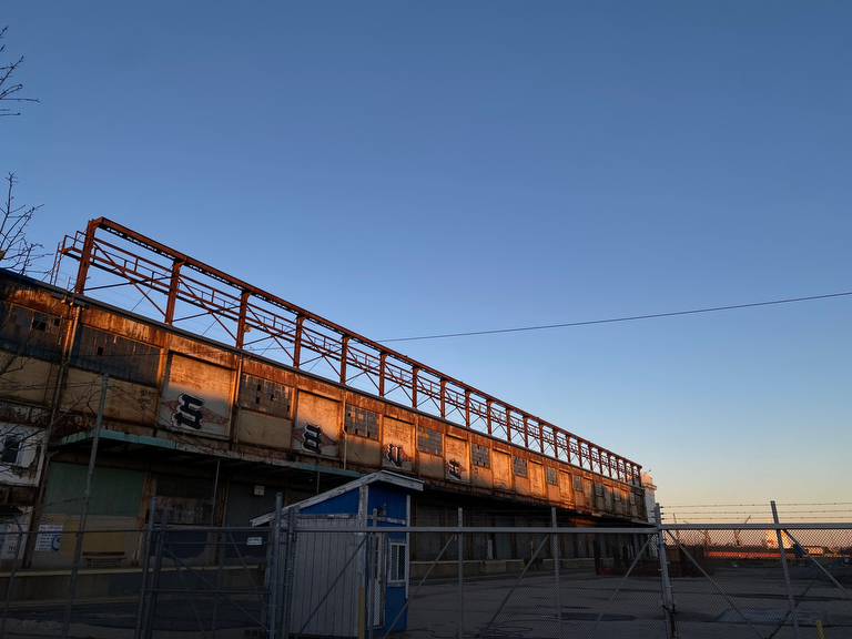
… and as the sun sets…
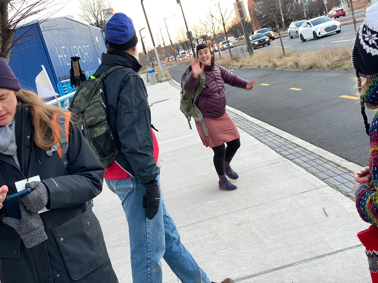
… it’s time for Meg to peel off…
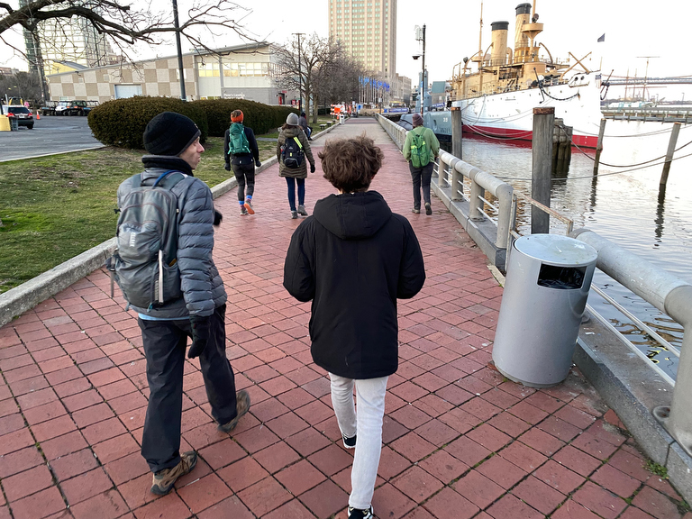
… but Corbin’s still walking with us!
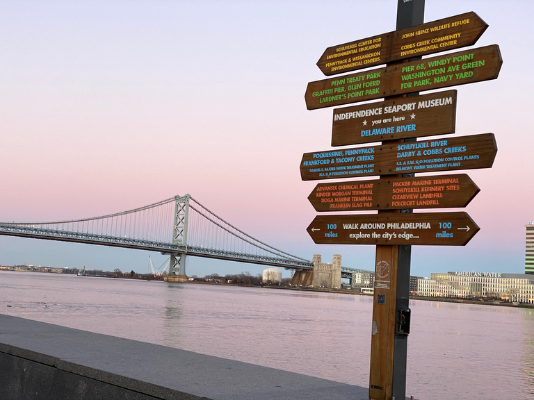
We make it to the Walk Around Philadelphia wayfinding installation by the Independence Seaport Museum on Penn’s Landing…
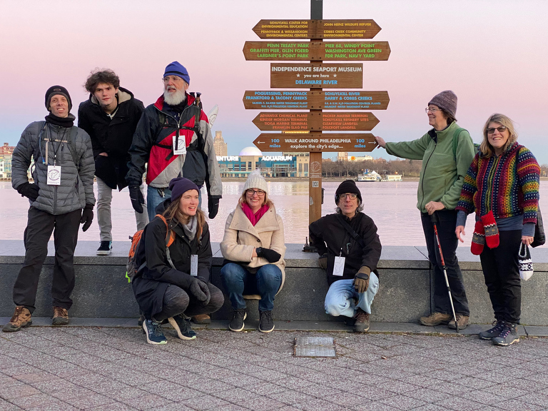
… and pause for a snapshot by this sign that invites folks on what is probably the most-walked segment of the perimeter to explore a little bit further along the perimeter, ~100+ miles around the city’s edge!
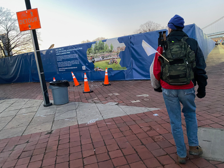
The landscape here is changing too, with the plan for the cap over I-95 and new Penn’s Landing Park…
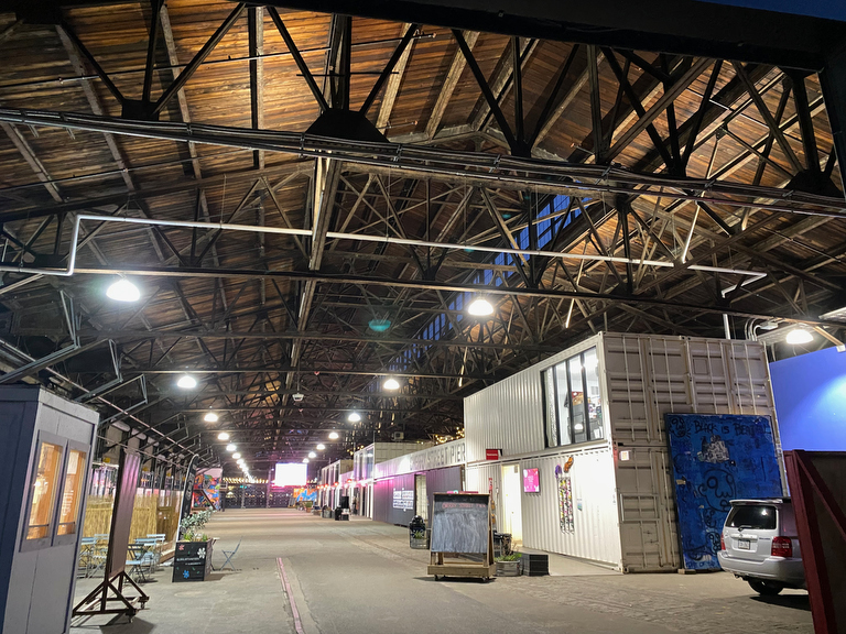
… and we wrap up our day near Cherry Street Pier, where I’m psyched that I & Walk Around Philadelphia have been invited to be a program-partner-in-residence for the coming year, so keep an eye out for some upcoming programs here…
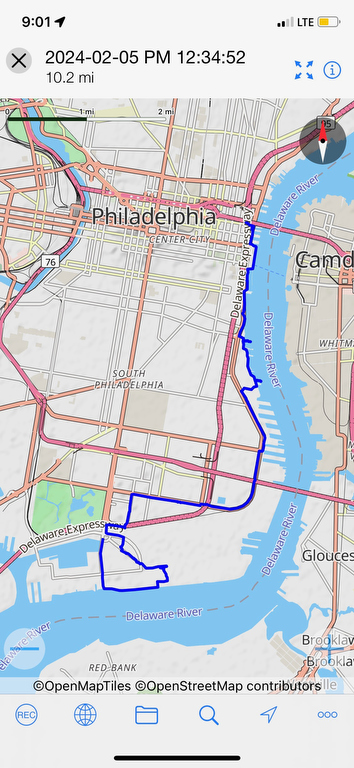
Here’s our route for the day… as you can see, while the line in the river might be smooth, our path as we seek to follow it involves some twists and turns and zigzags!
And thus concluded the first weekend of the 2024 winter Walk Around Philadelphia!
(Well, it concluded with snacks at Race Street Café, but that’s not pictured.)
Before you check out the recaps of the second & third weekends, make sure to get on the mailing list for invites to our next events & adventures!